Dinwiddie in Dinwiddie County, Virginia — The American South (Mid-Atlantic)
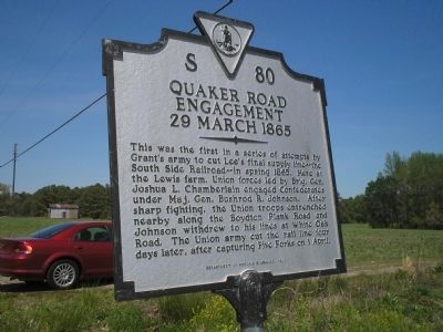
Quaker Road Engagement
29 March 1865
Erected 1991 by Department of Historic Resources. (Marker Number S-80.)
Topics and series. This historical marker is listed in these topic lists: Notable Events • Notable Places • War, US Civil. In addition, it is included in the Virginia Department of Historic Resources (DHR) series list. A significant historical year for this entry is 1865.
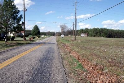
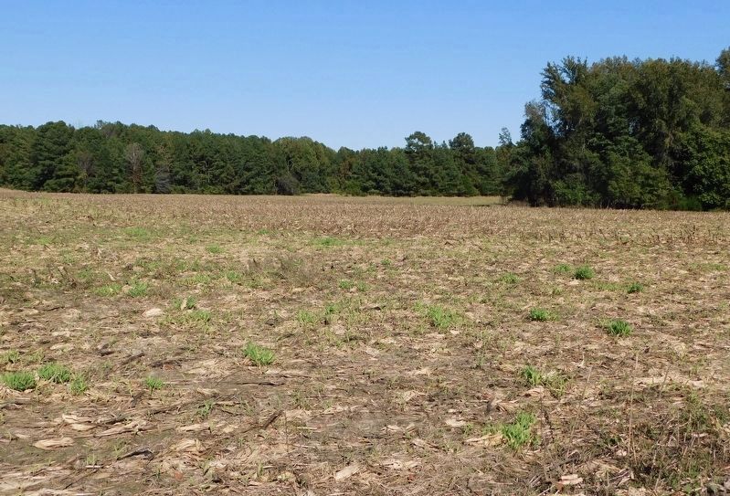
Location. 37° 7.532′ N, 77° 31.699′ W. Marker is in Dinwiddie, Virginia, in Dinwiddie County. Marker is on Quaker Road (Virginia Route 660) one mile south of U.S. 1, on the left when traveling south. Touch for map. Marker is in this post office area: Dinwiddie VA 23841, United States of America. Touch for directions.
Other nearby markers. At least 8 other markers are within 2 miles of this marker, measured as the crow flies. Raceland (approx. 0.8 miles away); Gravelly Run Quaker Meeting House (approx. 0.8 miles away); Cattle (Beefsteak) Raid (approx. 1.7 miles away); White Oak Road (approx. 1.7 miles away); The Battle of Hatcher’s Run (approx. 1.7 miles away); Brigadier General John Pegram (approx. 1.7 miles away); a different marker also named The Battle of Hatcher’s Run (approx. 1.7 miles away); a different marker also named Battle of Hatcher’s Run (approx. 1.7 miles away). Touch for a list and map of all markers in Dinwiddie.
Additional commentary.
1. My grand father wounded at Quaker Road Engagement
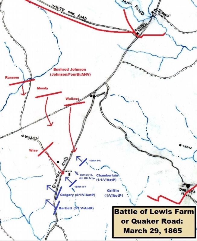
My great-great grand father Pvt. James Wilson was wounded in right shoulder at the Quaker Road engagement. He was in Co. K 185th NYSV. I have his original rifle and many pages the national archives sent me about his yearly filings for veterans disability payments of about $11 per month. He was from Cazenovia, NY near Syracuse. He had come from Ireland in May 1850 at 21 years old on coffin ship Marchionous of Bute landing in New York city May 15, 1850. His unit was under Chamberlain that also was wounded during this infantry charge. The 185th took over 70% casualties during that afternoon battle.
Editor's Note: Thank you for sharing some of your family's history related to this marker. We appreciate the addition of some history behind the marker.
— Submitted September 3, 2010, by John W. Wilson Jr. of Cicero, New York.
2. General Joshua Chamberlain description of battle
In his book, "The Passing of the Armies: An Account of the Final Campaign of the Army of the Potomac", Chamberlain gives his report of the battle on pp 24-30.
— Submitted August 23, 2022, by Gary Fresen of Glenview, Illinois.
Credits. This page was last revised on August 27, 2022. It was originally submitted on December 28, 2008, by Bill Coughlin of Woodland Park, New Jersey. This page has been viewed 2,109 times since then and 38 times this year. Last updated on June 20, 2021, by Bradley Owen of Morgantown, West Virginia. Photos: 1. submitted on December 28, 2008, by Bill Coughlin of Woodland Park, New Jersey. 2. submitted on April 4, 2009, by Bernard Fisher of Richmond, Virginia. 3, 4, 5. submitted on October 29, 2021, by Bradley Owen of Morgantown, West Virginia. • Bill Pfingsten was the editor who published this page.
