Venice in Sarasota County, Florida — The American South (South Atlantic)
Casey's Pass
Inscription.
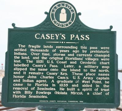
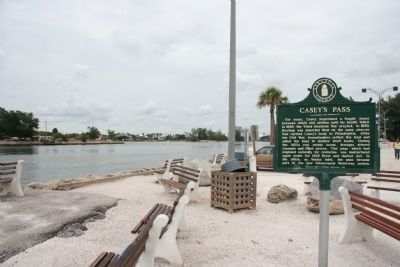
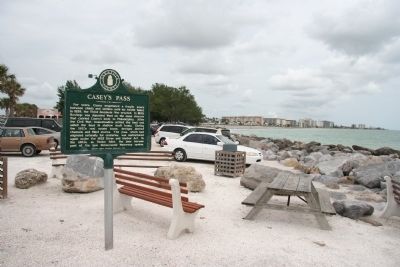
The fragile lands surrounding this pass were settled thousands of years ago by prehistoric Indians. Over time, storms and currents changed the land, and the original Floridians' villages were lost. The 1851 U.S. Coast and Geodetic chart labelled Casey's Pass. Later, a military map slipped the name onto the island to the north, and it remains Casey Key. These place names honor John Charles Casey, U.S. Army captain and Indian agent. A graduate of West Point, he came to Florida in 1835 and aided in the removal of Seminoles. He built a spirit of trust with Billy Bowlegs (Holata Micco), a chief of Florida Seminoles.
Reverse:
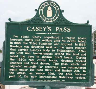
For years, Casey negotiated a fragile peace between chiefs and settlers until his health failed. In 1855, the Third Seminole War erupted. In 1858, Bowlegs was deported West on the same steamer that carried Casey's body to Philadelphia. After the Civil War, homesteaders settled the land and sailed the bays in shallow draft boats. During the 1920s real estate boom, dredges altered channels and filled shores. The pass, which had migrated naturally for centuries, was restructured again under the 1935 River and Harbor Act. In the 1960s, as Venice Inlet, the pass became part of the new Intracoastal Waterway system.
Erected 1988 by Sarasota County Historical Commission.
Topics. This historical marker is listed in these topic lists: Native Americans • Settlements & Settlers • Wars, US Indian • Waterways & Vessels. A significant historical year for this entry is 1851.
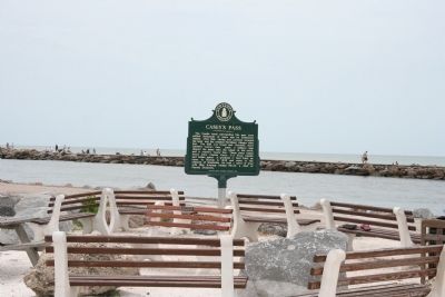
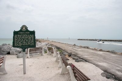
Location. 27° 6.75′ N, 82° 28.06′ W. Marker is in Venice, Florida, in Sarasota County. Marker is on Tarpon Center Drive, 0.3 miles west of Inlet Circle Road, in the median. This historical marker is located at the very end of Tarpon Center Drive, and at the very beginning of the Venice Inlet, south jetty. Touch for map. Marker is at or near this postal address: 1572 Tarpon Center Drive, Venice FL 34285, United States of America. Touch for directions.
Other nearby markers. At least 8 other markers are within 2 miles of this marker, measured as the crow flies. Venice Storm History (approx. 0.9 miles away); Venice Beach Pavilion (approx. one mile away); Venice Beach War Memorial (approx. one mile away); Clyde E. Lassen (approx. one mile away); Venice Army Air Base (approx. 1.1 miles away); The Calusa and Seminole Peoples (approx. 1.1 miles away); 1926 Article From "Venice News" (approx. 1.2 miles away); Pioneer Court (approx. 1.3 miles away). Touch for a list and map of all markers in Venice.
Credits. This page was last revised on June 21, 2018. It was originally submitted on July 6, 2010, by Dale K. Benington of Toledo, Ohio. This page has been viewed 1,561 times since then and 66 times this year. Photos: 1, 2, 3, 4, 5, 6. submitted on July 6, 2010, by Dale K. Benington of Toledo, Ohio.
