Harlandale in San Antonio in Bexar County, Texas — The American South (West South Central)
Indian Quarters / Habitaciones de los Indios
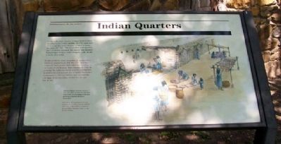
Inscription.
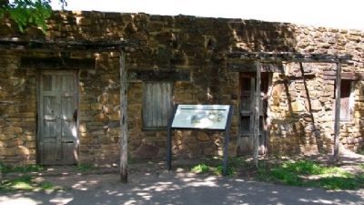
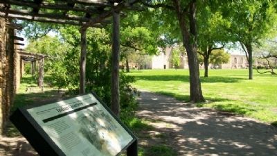
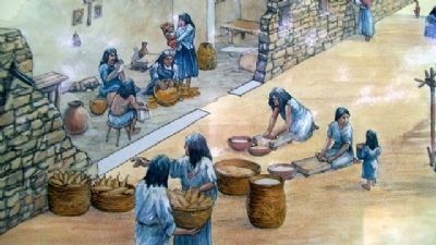
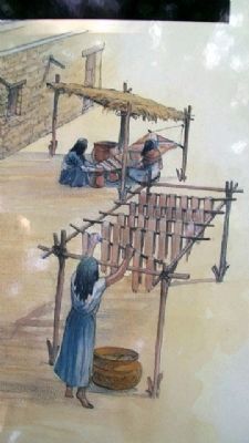
In the early years, mission Indians lived in small detached houses called jacales. In 1755, eighty-four of these jacales lined "streets" in what is today the plaza. But after 1768, as conflicts with Apaches and Comanches increased, the mission was enclosed. Indians began living in rooms along the walls, similar to those seen today.
Mission Indians received rations of food and other necessities, but were responsible for preparing meals and performing household duties themselves.
————————
En los primeros años, los indios de las misiónes vivían en pequeños jacales. En 1755, ochenta y cuatro de estos jacales delineaban las « calles » en lo que es hoy la plaza. Pero después de 1768, al aumentar los conflictos con los apaches y comanches, la misión fue rodeada por una muralla. Los indios comenzaron a vivir en habitaciones construidas a lo largo de las murallas, similares a las que hoy se ven.
Los indios de la misiones recibían reciones de comida y otras necesidades pero eran responsables de preparar sus comidas y hacerse cargo de sus faenas caseras.
Erected by National Park Service.
Topics. This historical marker is listed in these topic lists: Churches & Religion • Colonial Era • Native Americans. A significant historical year for this entry is 1755.
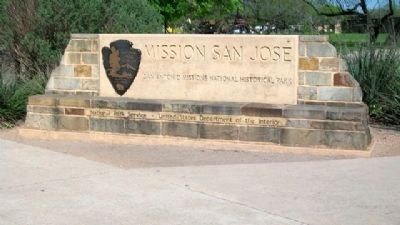
Location. 29° 21.695′ N, 98° 28.862′ W. Marker is in San Antonio, Texas, in Bexar County. It is in Harlandale. Marker is inside the Mission San Jose compound, part of the San Antonio Missions National Historic Park. Touch for map. Marker is at or near this postal address: 2202 Roosevelt Avenue, San Antonio TX 78210, United States of America. Touch for directions.
Other nearby markers. At least 8 other markers are within walking distance of this marker. Mission San José / La Misión de San José (about 400 feet away, measured in a direct line); Rose Window / Ventana de Rosa (about 400 feet away); The Church / La iglesia (about 500 feet away); The Convento / El convento (about 500 feet away); The Mission Road / El Camino de las Misiones (about 500 feet away); Fray Antonio Margil de Jesús (about 600 feet away); San Antonio Missions / Las misiones de San Antonio (about 600 feet away); Hot Wells Hotel (approx. 0.6 miles away). Touch for a list and map of all markers in San Antonio.
Also see . . . San Antonio Missions National Historic Park. (Submitted on July 7, 2010, by William Fischer, Jr. of Scranton, Pennsylvania.)
Credits. This page was last revised on February 2, 2023. It was originally submitted on July 7, 2010, by William Fischer, Jr. of Scranton, Pennsylvania. This page has been viewed 1,230 times since then and 21 times this year. Photos: 1, 2, 3, 4, 5. submitted on July 7, 2010, by William Fischer, Jr. of Scranton, Pennsylvania. 6. submitted on August 3, 2010, by William Fischer, Jr. of Scranton, Pennsylvania.
