Near Bernalillo in Sandoval County, New Mexico — The American Mountains (Southwest)
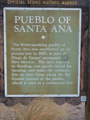
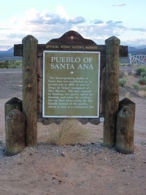
Pueblo of Santa Ana
Erected by New Mexico Historic Preservation Division and Department of Highways.
Topics and series. This historical marker is listed in these topic lists: Native Americans • Notable Places. In addition, it is included in the El Camino Real de Tierra Adentro series list. A significant historical year for this entry is 1693.
Location. 35° 24.836′ N, 106° 38.433′ W. Marker is near Bernalillo, New Mexico, in Sandoval County. Marker is at the intersection of U.S. 550 and State Road 74, on the right when traveling west on U.S. 550. I 25 exit 242 West on US 550 9.2 miles. Touch for map. Marker is in this post office area: Bernalillo NM 87004, United States of America. Touch for directions.
Other nearby markers. At least 8 other markers are within 10 miles of this marker, measured as the crow flies. Bernalillo (approx. 5.4 miles away); Trinidad Gachupin Medina (ca. 1883-1964) (approx. 7.4 miles away); Pueblo of Zía (approx. 7.4 miles away); Spanish Entrada Site (approx. 8.2 miles away); La Angostura (approx. 8.7 miles away); Vietnam War Memorial (approx. 9.1 miles away); Women Veterans of New Mexico (approx. 9.2 miles away); a different marker also named Bernalillo (approx. 9½ miles away). Touch for a list and map of all markers in Bernalillo.
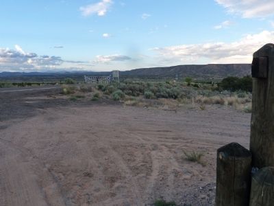
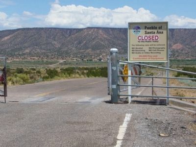
More about this marker. Marker overlooks the Jemez River Valley. This is the back door to "La Angostura," the narrowing of the Rio Grande River at its junction with the Jemez.
July 1, 2010
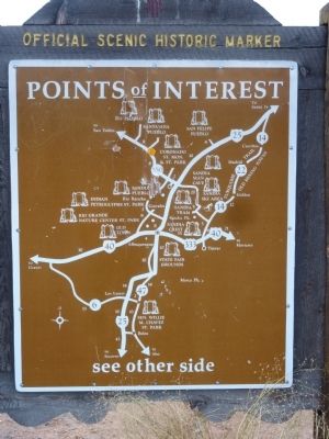
3. Santa Ana Pueblo Marker - Reverse
New Mexico Historic Marker Maps
The state's Official Scenic Historic Markers usually have a map on the reverse side showing the location of more local markers. For the ardent historical marker seeker, these maps are mines of information, waiting for extraction.
Credits. This page was last revised on June 16, 2016. It was originally submitted on July 10, 2010. This page has been viewed 1,631 times since then and 49 times this year. Photos: 1, 2, 3, 4. submitted on July 10, 2010. 5. submitted on August 2, 2011, by Bill Kirchner of Tucson, Arizona. • Syd Whittle was the editor who published this page.
