Near Cuyamungue in Santa Fe County, New Mexico — The American Mountains (Southwest)
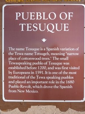
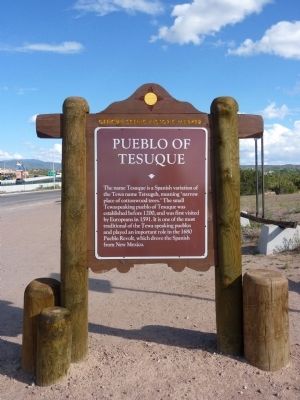
Pueblo of Tesuque
Erected by New Mexico Historic Preservation Division and Department of Highways.
Topics. This historical marker is listed in these topic lists: Native Americans • Natural Features. A significant historical year for this entry is 1200.
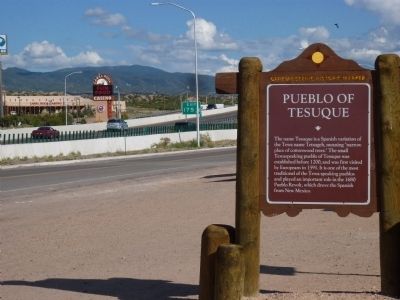
Location. 35° 49.502′ N, 105° 58.7′ W. Marker is near Cuyamungue, New Mexico, in Santa Fe County. Marker can be reached from West Frontage Road (U.S. 84 Frontage Road at milepost 175), 0.2 miles north of Camel Rock Road. Exit 175 U.S. 84/285 West on Camel Rock Road West Frontage Road North .2 mi North end of Camel Rock Rest Area near old picnic ramada. Touch for map. Marker is in this post office area: Tesuque NM 87574, United States of America. Touch for directions.
Other nearby markers. At least 8 other markers are within 9 miles of this marker, measured as the crow flies. Tesuque Rain Gods (a few steps from this marker); Feliciana Tapia Viarrial (1904-1988) (approx. 4.3 miles away); The St. Francis Women's Club (approx. 5.7 miles away); Santa Fe Opera (approx. 6.2 miles away); Jémez Mountains (approx. 8.1 miles away); Vietnam War Memorial (approx. 8.7 miles away); In Honor of the Navajo Code Talkers (approx. 8.7 miles away); Maria Montoya Martinez, (Povika, Pond Lily) (approx. 8.7 miles away).
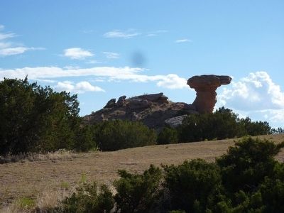
More about this marker. This marker is on the north end of the Camel Rock Rest Area, once a main place to stop on the road from Santa Fe to Taos, now a point of interest on a frontage road. Camel Rock, as it is named, looks like a camel, with a camel head perched on a sandstone neck protruding from a hill.
Also see . . .
1. Tesuque Pueblo Wikipedia Page. (Submitted on July 10, 2010.)
2. The Pueblo Revolt. The Pueblo Revolt of 1680 was brought about by years of Spanish cruelty and barbarism practiced on the indigenous inhabitants. The natives were forbidden, on pain of death, to practice their native religions. For many Native Americans, the situation got worse every year until a San Juan Pueblo medecine man found a way to get the tribes to cooperate with each other and then face their common enemy: the Spanish. (Submitted on July 13, 2010.)
July 1, 2010
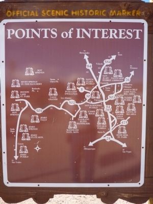
4. Pueblo of Tesuque Marker - Reverse
New Mexico Historic Marker Maps
The state's Official Scenic Historic Markers usually have a map on the reverse side showing the location of more local markers. For the ardent historical marker seeker, these maps are mines of information, waiting for extraction.
Credits. This page was last revised on September 24, 2020. It was originally submitted on July 10, 2010. This page has been viewed 1,384 times since then and 41 times this year. Photos: 1, 2, 3, 4, 5. submitted on July 10, 2010. • Syd Whittle was the editor who published this page.
