Henrico in Henrico County, Virginia — The American South (Mid-Atlantic)
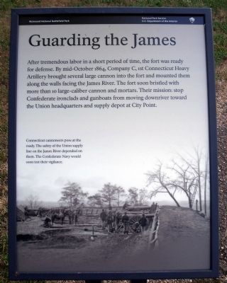
Guarding the James
Erected 2010 by Richmond National Battlefield Park.
Topics. This historical marker is listed in these topic lists: Forts and Castles • War, US Civil. A significant historical year for this entry is 1864.
Location. 37° 23.476′ N, 77° 21.693′ W. Marker is in Henrico, Virginia, in Henrico County. Marker can be reached from Hoke Brady Road, 0.9 miles south of Kingsland Road. Touch for map. Marker is in this post office area: Henrico VA 23231, United States of America. Touch for directions.
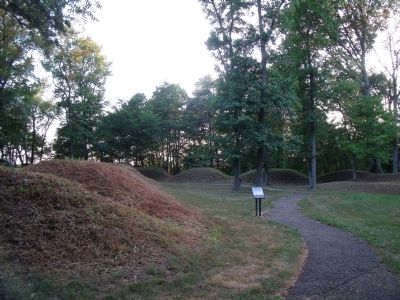
Other nearby markers. At least 8 other markers are within one mile of this marker, measured as the crow flies. Guns of Fort Brady (a few steps from this marker); Powder Magazine (a few steps from this marker); a different marker also named Powder Magazine (a few steps from this marker); Battle of Trent's Reach (a few steps from this marker); Union Defensive Lines (about 400 feet away, measured in a direct line); Fort Brady Trail (about 400 feet away); Fort Brady (about 500 feet away); The Tides (approx. one mile away). Touch for a list and map of all markers in Henrico.
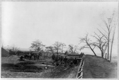
More about this marker. On the bottom is a photo with the caption, "Connecticut cannoneers pose at the ready. The safety of the Union supply line of the James River depended on them. The Confederate Navy would soon test their vigilance."
Related marker. Click here for another marker that is related to this marker. Old Marker At This Location titled "Guarding the River".
Also see . . . Richmond National Battlefield Park. (Submitted on July 11, 2010.)
Credits. This page was last revised on November 5, 2021. It was originally submitted on July 11, 2010, by Bernard Fisher of Richmond, Virginia. This page has been viewed 834 times since then and 14 times this year. Photos: 1, 2, 3, 4. submitted on July 11, 2010, by Bernard Fisher of Richmond, Virginia.


