Bartow in Pocahontas County, West Virginia — The American South (Appalachia)
Camp Allegheny
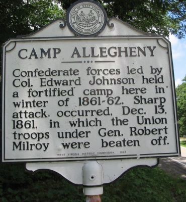
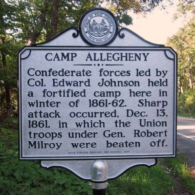
Confederate forces led by Col. Edward Johnson held a fortified camp here in winter of 1861-62. Sharp attack occurred, Dec. 13, 1861, in which the Union troops under Gen. Robert Milroy were beaten off.
Erected 1963 by West Virginia Historic Commission.
Topics and series. This historical marker is listed in this topic list: War, US Civil. In addition, it is included in the West Virginia Archives and History series list. A significant historical date for this entry is December 13, 1861.
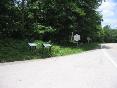
Location. 38° 28.536′ N, 79° 41.946′ W. Marker is in Bartow, West Virginia, in Pocahontas County. Marker is at the intersection of U.S. 250 and Forest Service Road, on the right when traveling south on U.S. 250. Touch for map. Marker is in this post office area: Bartow WV 24920, United States of America. Touch for directions.
Other nearby markers. At least 8 other markers are within 2 miles of this marker, measured as the crow flies. The First Campaign (a few steps from this marker); West Virginia / Virginia (a few steps from this marker); The Great Raid (a few steps from this marker); War In West Virginia (a few steps from this marker); Highland County / West Virginia (within shouting distance of this marker in Virginia); a different marker also named Camp Allegheny (approx. 0.7 miles away in Virginia); Camp Allegheny 1861-1862 (approx. 1.3 miles away); a different marker also named Camp Allegheny (approx. 1.3 miles away). Touch for a list and map of all markers in Bartow.
Related markers. Click here for a list of markers that are related to this marker. Camp Allegheney by markers.
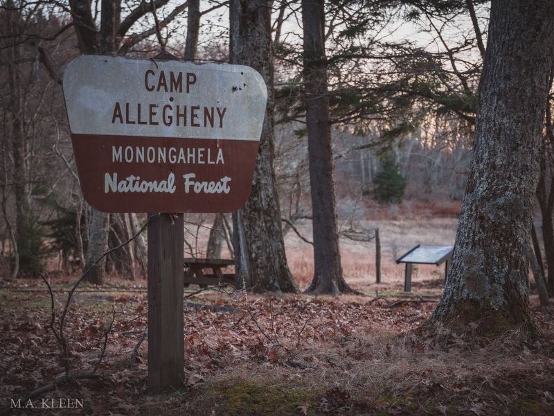
via Historic America, November 10, 2019
3. Camp Allegheny Battlefield in Pocahontas County, West Virginia
Historic America website entry
Click for more information.
Click for more information.
Photographed By Craig Swain, July 10, 2010
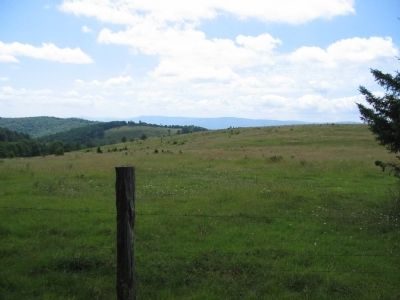
5. Confederate Camp
Much of the impressive earthworks on site lay on private property. Looking from the Forest Service land over an open field, Confederate camp straddled the Staunton-Parkersburg Turnpike, which ran from the left of this view, diagonally, just over the ridge in the foreground.
Credits. This page was last revised on March 30, 2022. It was originally submitted on July 11, 2010, by Craig Swain of Leesburg, Virginia. This page has been viewed 1,014 times since then and 30 times this year. Photos: 1. submitted on July 11, 2010, by Craig Swain of Leesburg, Virginia. 2. submitted on August 11, 2012, by Bernard Fisher of Richmond, Virginia. 3. submitted on March 30, 2022, by Larry Gertner of New York, New York. 4, 5. submitted on July 11, 2010, by Craig Swain of Leesburg, Virginia.
