Jerome in Yavapai County, Arizona — The American Mountains (Southwest)
Jerome, Arizona
Too Strong to Die
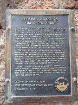
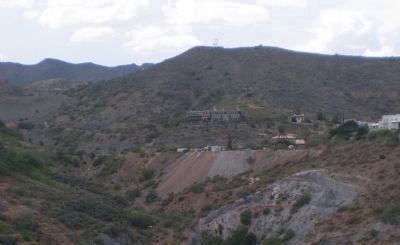
The first mining claims were filed in 1876, within 20 years Jerome was a billion dollar copper mecca and one of the wildest, wickedest mining towns in the west. Drinking, gambling, brawls and frolicking with ladies of the night occurred around–the-clock in two dozen magnificent saloons.
By the time mining shut down in 1952, enough copper had been produced to put 13 pounds in the hands of every citizen in the world. Gold and silver production covered mining expenses.
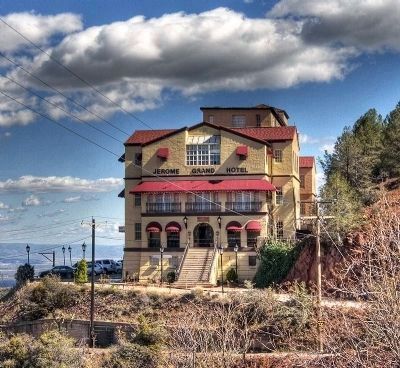
Through the efforts of the historical society, Jerome became one of the west's most celebrated 'Ghost Towns'. Although this image persisted into the 1970's Jerome's population grew in the 1960's. Buildings began to be restored to their graceful pre-1953 conditions, and in 1970 Jerome was designated a National Historic Landmark.
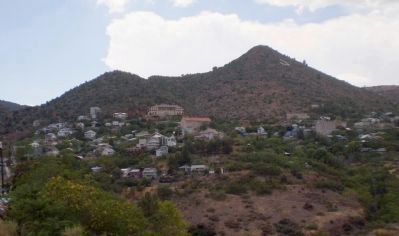
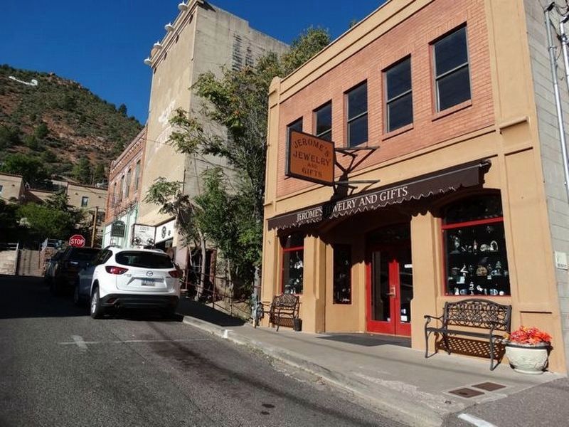
Today , Jerome is an arts oriented village of 500. A million tourists a year stroll its twisted streets and gape at the 100-mile views. With its rich history and tenacious citizens Jerome is a town too strong to die.
Erected 1995 by Lost Dutchman Chapter 5917, E Clampus Vitus.
Topics and series. This historical marker is listed in these topic lists: Landmarks • Natural Resources • Notable Places • Settlements & Settlers. In addition, it is included in the E Clampus Vitus, and the National Historic Landmarks series lists. A significant historical year for this entry is 1876.
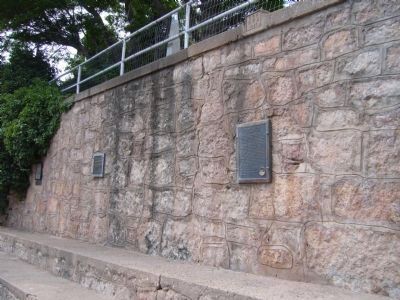
Location. 34° 45.048′ N, 112° 6.958′ W. Marker is in Jerome, Arizona, in Yavapai County. Marker is on Main Street (Arizona Route 89A), on the right when traveling east. Touch for map. Marker is at or near this postal address: 208 Main Street, Jerome AZ 86331, United States of America. Touch for directions.
Other nearby markers. At least 8 other markers are within walking distance of this marker. Bartlett Hotel (here, next to this marker); The Saloon (here, next to this marker); Jerome Town Hall (a few steps from this marker); The Svob Family (a few steps from this marker); Paul and Jerry's Saloon (a few steps from this marker); Jerome Blast Furnace (a few steps from this marker); Mine Museum/Fashion Saloon (a few steps from this marker); Whitten Printers (within shouting distance of this marker). Touch for a list and map of all markers in Jerome.
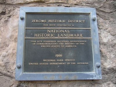
Regarding Jerome, Arizona. The Jerome Historic District was designated as a National Historic Landmark on November 13, 1966.
Statement of Significance:
Jerome
was one of the richest copper-producing areas in the United States in the late 19th and early 20th centuries. The town and surrounding mining area illustrate the historic activities associated with copper production.
Also see . . .
1. The History of Jerome. The Jerome Times gives a detailed history of this mining town. Also included are links to additional information and a large collection of town photos. (Submitted on July 17, 2010.)
2. Town of Jerome. Town website homepage (Submitted on May 1, 2022, by Larry Gertner of New York, New York.)
Credits. This page was last revised on May 7, 2022. It was originally submitted on July 17, 2010, by Bill Kirchner of Tucson, Arizona. This page has been viewed 2,891 times since then and 35 times this year. Photos: 1, 2, 3. submitted on July 17, 2010, by Bill Kirchner of Tucson, Arizona. 4, 5. submitted on August 7, 2010, by Lester J Letson of Fresno, California. 6. submitted on October 12, 2010. 7. submitted on September 9, 2018, by Denise Boose of Tehachapi, California. 8. submitted on January 16, 2011, by Michael D Martin of Gig Harbor, Washington. • Syd Whittle was the editor who published this page.
