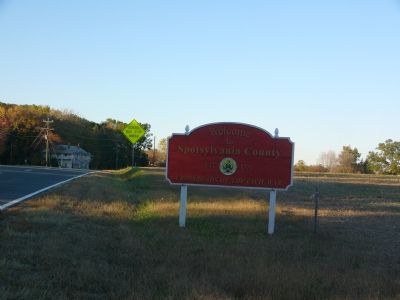
Near Woodford in Caroline County, Virginia — The American South (Mid-Atlantic)
Spotsylvania County / Caroline County
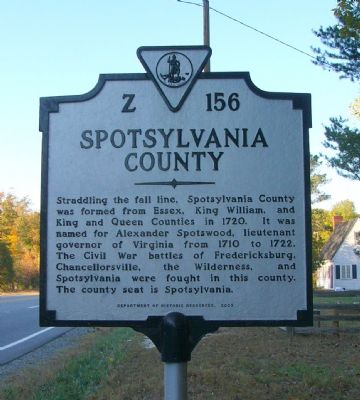
Spotsylvania County. Straddling the fall line, Spotsylvania County was formed from Essex, King William, and King and Queen Counties in 1720. It was named for Alexander Spotswood, lieutenant governor of Virginia from 1710 to 1722. The Civil War battles of Fredericksburg, Chancellorsville, the Wilderness, and Spotsylvania were fought in this county. The county seat is Spotsylvania.
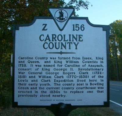
Caroline County. Caroline County was formed from Essex, King and Queen, and King William Counties in 1728. It was named for Caroline of Anspach, consort of King George II. Revolutionary War General George Rogers Clark (1752-1818) and William Clark (1770-1838) of the Lewis and Clark Expedition lived here in their early youth. The county seat is Bowling Green and the current county courthouse was erected in the 1830s to replace one that previously stood nearby.
Erected 2003 by Department of Historic Resources. (Marker Number Z-156.)
Topics and series. This historical marker is listed in these topic lists: Colonial Era • Patriots & Patriotism • War, US Revolutionary. In addition, it is included in the Virginia Department of Historic Resources (DHR) series list. A significant historical year for this entry is 1720.
Location. 38° 5.842′ N, 77° 31.673′ W. Marker is near Woodford, Virginia, in Caroline County. Marker is on Jefferson Davis Hwy (U.S. 1), on the right when traveling north. Touch for map. Marker is at or near this postal address: 5513 Jefferson Davis Hwy, Woodford VA 22580, United States of America. Touch for directions.
Other nearby markers. At least 8 other markers are within 6 miles of this marker, measured as the crow flies. Nancy Wright’s (approx. half a mile away); Turn in Sheridan’s Raid (approx. 0.7 miles away); Jerrell’s Mill (approx. 1.3 miles away); Mud Tavern (approx. 2.4 miles away); Stanard’s Mill (approx. 3.7 miles away); York: Lewis and Clark Expedition (approx. 5.4 miles away); Maneuvering to the North Anna River (approx. 5.4 miles away); Clark Family Farm (approx. 5.4 miles away). Touch for a list and map of all markers in Woodford.
Credits. This page was last revised on July 9, 2021. It was originally submitted on November 5, 2007, by Kevin W. of Stafford, Virginia. This page has been viewed 1,210 times since then and 29 times this year. Photos: 1, 2, 3, 4, 5. submitted on November 5, 2007, by Kevin W. of Stafford, Virginia.
