Near Salters in Williamsburg County, South Carolina — The American South (South Atlantic)
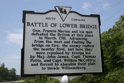
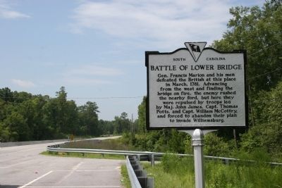
Battle Of Lower Bridge
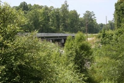
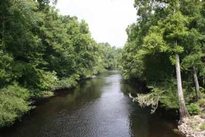
Gen. Francis Marion and his men defeated the British at this place in March 1781. Advancing from the west and finding the bridge on fire, the enemy rushed the nearby ford, but here they were repulsed by troops led by John James, Thomas Potts, and William McCottry and forced to abandon their plan to invade Williamsburg.
Erected 1958 by Williamsburg County. Sponsored by Margret Gregg Gordon Chapter of DAR. (Marker Number 45-2.)
Topics and series. This historical marker is listed in this topic list: War, US Revolutionary. In addition, it is included in the Daughters of the American Revolution series list. A significant historical month for this entry is March 1781.
Location. 33° 35.249′ N, 79° 49.039′ W. Marker is near Salters, South Carolina, in Williamsburg County. Marker is on Martin Luther King Jr. Avenue (State Highway 377) half a mile north of Bryans Crossroads, on the left when traveling north. Touch for map. Marker is in this post office area: Salters SC 29590, United States of America. Touch for directions.
Other nearby markers. At least 10 other markers are within 6 miles of this marker, measured as the crow flies. Lower Bridge: Take the Low Ground! (a few steps from this marker); Burrows's Service Station / Cooper's Country Store (approx. half a mile away); Union Presbyterian Church (approx. 1.7 miles away); McClary Cemetery (approx. 3.9 miles away); Dr. Martin Luther King, Jr. (approx. 5.3 miles away); Thurgood Marshall, J.D. (approx. 5.3 miles away); Old Muster Ground and Courthouse (approx. 5.3 miles away); Williamsburg County Confederate Monument (approx. 5.3 miles away); Williamsburgh (approx. 5.3 miles away); Willamsburg County Veterans Monument (approx. 5.3 miles away). Touch for a list and map of all markers in Salters.
Also see . . .
1. The American Revolution in South Carolina - Black River Bridge. After a fairly extensive skirmish at Wiboo Swamp, Brig. Gen. Francis Marion had retired towards down the Santee Road and deployed his men at Mount Hope Swamp where he destroyed the bridge over the stream there. (Submitted on February 9, 2011, by Brian Scott of Anderson, South Carolina.)
2. Francis Marion. Francis Marion (c. 1732 – February 26, 1795) was a military officer who served in the American Revolutionary War. (Submitted on February 9, 2011, by Brian Scott of Anderson, South Carolina.)
Credits. This page was last revised on June 16, 2016. It was originally submitted on July 18, 2010, by David Bullard of Seneca, South Carolina. This page has been viewed 1,666 times since then and 77 times this year. Photos: 1, 2, 3, 4. submitted on July 18, 2010, by David Bullard of Seneca, South Carolina. • Syd Whittle was the editor who published this page.


