Flagstaff in Coconino County, Arizona — The American Mountains (Southwest)
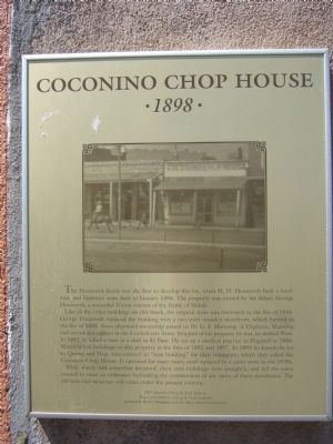
Coconino Chop House
1898
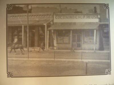
Like all the other buildings on this block, the original store was destroyed in the fire of 1886. George Hoxworth replaced the building with a two-story wooden storefront, which burned in the fire of 1888. Soon afterward ownership passed to Dr. G. F. Manning. A Virginian, Manning had served as a captain in the Confederate Army. Stripped of his property by war, he drifted West. In 1882 he killed a man in a duel in El Paso. He set up a medical practice in Flagstaff in 1886. Manning lost buildings on this property in the fires of 1892 and 1897. In 1898 he leased the lot to Quong and Hop, who erected an "iron building" for their restaurant, which they called the Coconino Chop House. It operated for many years, until replaced by a curio store in the 1930's.
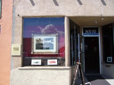
While sturdy and somewhat fireproof, these iron buildings were unsightly, and led the town council to enact an ordinance forbidding the construction of any more of them downtown. The old iron clad structure still exists under the present exterior.
Erected by Doug & Fran Jackson, Richard & Sherry Mangum and the Main Street Foundation.
Topics. This historical marker is listed in these topic lists: Industry & Commerce • Notable Buildings. A significant historical month for this entry is January 1884.
Location. 35° 11.853′ N, 111° 38.925′ W. Marker is in Flagstaff, Arizona, in Coconino County. Marker is on East Route 66, on the right when traveling west. Touch for map. Marker is at or near this postal address: 10 East Route 66, Flagstaff AZ 86001, United States of America. Touch for directions.
Other nearby markers. At least 8 other markers are within walking distance of this marker. Aubineau / Andreatos Building (a few steps from this marker); Aubineau Building (within shouting distance of this marker); Donahue Building (within shouting distance of this marker); McMillan Building (within shouting distance of this marker); Railroad Depot (within shouting distance of this marker); Raymond Building (within shouting distance of this marker); Transcontinental Railroad Centennial (within shouting distance of this marker); a different marker also named McMillan Building (within shouting distance of this marker). Touch for a list and map of all markers in Flagstaff.
Credits. This page was last revised on June 16, 2016. It was originally submitted on July 19, 2010, by Bill Kirchner of Tucson, Arizona. This page has been viewed 1,825 times since then and 20 times this year. Photos: 1, 2, 3. submitted on July 19, 2010, by Bill Kirchner of Tucson, Arizona. • Syd Whittle was the editor who published this page.


