Greenfield in Milwaukee County, Wisconsin — The American Midwest (Great Lakes)
Janesville Plank Road
Inscription.
Side A:
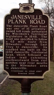
The Janesville Plank Road was one of 16 privately-owned toll roads authorized by Wisconsin’s Territorial legislature in 1848. The road was specified to follow a 65 mile route from Milwaukee through East Troy to Janesville. Its roadbed was built on the 1838 Janesville Territorial Road, which followed an Indian Trail extending southwestward from rice marshes near river mouths in the Milwaukee area to Janesville.
Erected 2000 by State Historical Society of Wisconsin. (Marker Number 448.)
Topics and series. This historical marker is listed in these topic lists: Roads & Vehicles • Settlements & Settlers. In addition, it is included in the Wisconsin Historical Society series list. A significant historical year for this entry is 1848.
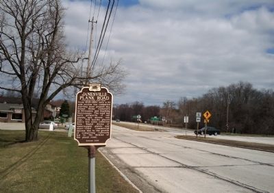
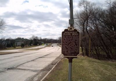
Location. 42° 57.064′ N, 88° 1.679′ W. Marker is in Greenfield, Wisconsin, in Milwaukee County. Marker is on West Forest Home Avenue, ¼ mile west of South 92nd Street, on the right when traveling south. Touch for map. Marker is in this post office area: Milwaukee WI 53228, United States of America. Touch for directions.
Other nearby markers. At least 8 other markers are within 2 miles of this marker, measured as the crow flies. St. Mary’s Church and Cemetery (approx. ¼ mile away); Wisconsin's Lime Industry (approx. half a mile away); Boyhood Home of Jeremiah Curtin (approx. half a mile away); John Voight - Boerner Botanical Gardens Director, 1941-1979 (approx. 0.9 miles away); Black Botanical Heritage: (approx. 1.1 miles away); Early 1900s Business District (approx. 1.2 miles away); Hales Corners – A Farm Village (approx. 1.3 miles away); 1992 NASCAR Champion (approx. 1.3 miles away).
Credits. This page was last revised on June 16, 2016. It was originally submitted on July 20, 2010, by Paul Fehrenbach of Germantown, Wisconsin. This page has been viewed 1,240 times since then and 41 times this year. Photos: 1, 2. submitted on July 20, 2010, by Paul Fehrenbach of Germantown, Wisconsin. 3. submitted on July 21, 2010, by Paul Fehrenbach of Germantown, Wisconsin. 4. submitted on July 20, 2010, by Paul Fehrenbach of Germantown, Wisconsin. • Syd Whittle was the editor who published this page.


