Ash Fork in Yavapai County, Arizona — The American Mountains (Southwest)
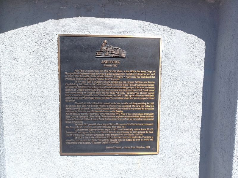
Ash Fork
Founded 1882
In the early 1880's freighters hauling supplies and ore between Williams and Jerome traveled along Ash Creek. In 1882 when the Atlantic and Pacific (Santa Fe) Railroad reached present-day Ash fork freighting companies pressured the railroad into building a depot at the more convenient location. In October a new siding was built near the site where the three forks of Ash Creek joined and a town sprang up along the tracks and was called Ash Fork. That same year Thomas Cooper Lewis arrived and opened the town's first business. On April 2, 1883 a post office was established and two years later Wells Fargo opened an office. Ten years later a town site was developed south of the tracks.
The arrival of the railroad also opened up the area to cattle and sheep ranching. In 1895 the railroad line from Ash Fork to Prescott to Phoenix was completed. The new line linked the capital city with the Santa Fe's mainline. Because it twisted and winded its way around the mountains and canyons the route was affectionately known as the Peavine. Ash fork had no source of water until a well was dug in 1976, prior to that a train hauled water daily from Del Rio Springs in Chino Valley. Water for steam engines was stored behind Stone and Steel Dams built around 1900 on Johnson Creek 5 miles east of town and carried by pipeline to the round house at Ash Fork.
In March 1907, near this site an elegant Harvey House named the Escalante was completed. The famous hotel, restaurant, curio store remained open until 1951.
The Interstate Highway System, begun in 1953 would eventually replace Route 66 with Interstate 40 and bypass the town. In 1960 the Santa Fe also bypassed the town moving the main line 10 miles north. These two devastating events brought about a decline in Ash Fork.
In 1975 a fire in the old business district destroyed many old landmarks. Flagstone is mined in quarries near Ash Fork. This colorful building stone is shipped all over the world and provides the town's slogan, "Flagstone Capital of USA."
Marshall Trimble – Arizona State Historian - 2001
Erected 2001.
Topics and series. This historical marker is listed in this topic list: Notable Places. In addition, it is included in the Atchison, Topeka and Santa Fe Railway, and the U.S. Route 66 series lists. A significant historical month for this entry is March 1907.
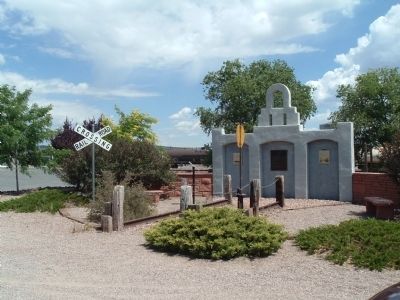
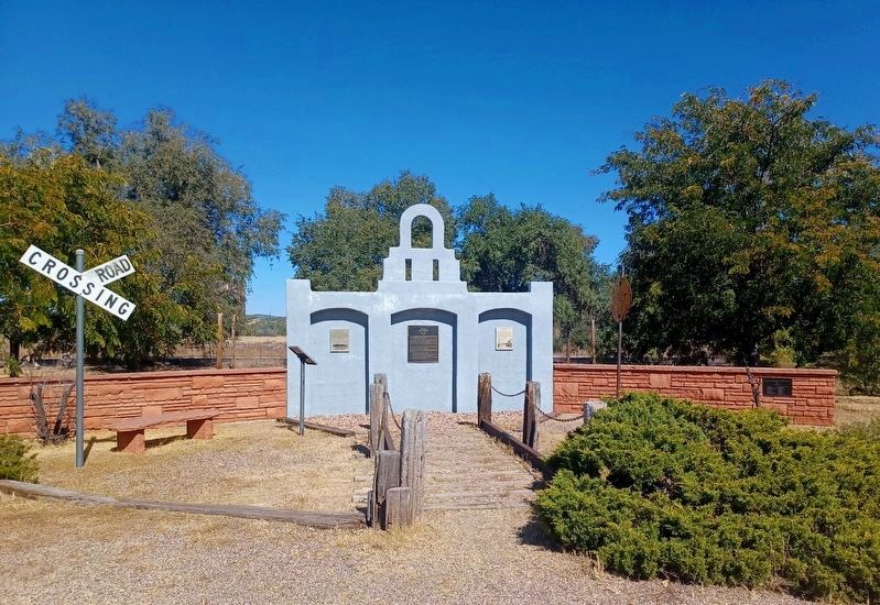
Location. 35° 13.502′ N, 112° 29.113′ W. Marker is in Ash Fork, Arizona, in Yavapai County. Marker is at the intersection of Lewis Avenue (Business Route 40) and 5th Street, on the right when traveling west on Lewis Avenue. Touch for map. Marker is in this post office area: Ash Fork AZ 86320, United States of America. Touch for directions.
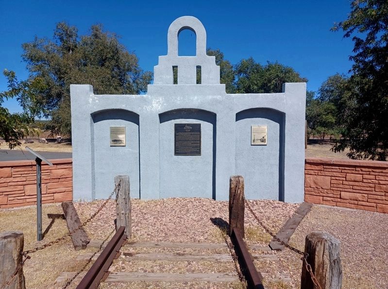
Other nearby markers. At least 3 other markers are within walking distance of this marker. “The Famous Esclante Hotel” (here, next to this marker); Ash Fork, Arizona / The Coming of Route “66” (here, next to this marker); Ash Fork Maintenance Camp #1 (approx. 0.4 miles away).
Credits. This page was last revised on December 18, 2023. It was originally submitted on July 22, 2010, by Bill Kirchner of Tucson, Arizona. This page has been viewed 2,621 times since then and 64 times this year. Photos: 1. submitted on July 22, 2010, by Bill Kirchner of Tucson, Arizona. 2. submitted on December 14, 2023, by Flexible Fotography of San Diego, California. 3. submitted on July 22, 2010, by Bill Kirchner of Tucson, Arizona. 4, 5. submitted on December 14, 2023, by Flexible Fotography of San Diego, California. • Syd Whittle was the editor who published this page.


