Ash Fork in Yavapai County, Arizona — The American Mountains (Southwest)
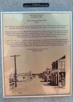
Ash Fork, Arizona / The Coming of Route “66”
Founded 1882
The Coming of Route “66”
1926
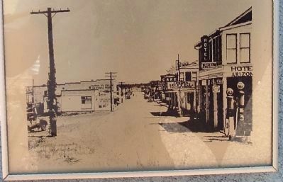
Pictured is Lewis Ave. “Route 66” as it served as both west bound and east bound until the ‘50’s when Park Ave. assumed the east bound traffic. At this time Lewis and Park Avenues became one-way streets. The popular route and its many visitors have been the survival to many businesses.
Ash Fork has some business structures that are typical of the early automobile route, such as gas stations, motels, restaurants, and grocery store and gift shops to serve the traveling public. Some homes as well as business structures on the famous route are eligible for the National Register of Historic Places.
Formed 1997
Erected by Ash Fork Historical Society.
Topics and series. This historical marker is listed in this topic list: Notable Places. In addition, it is included in the U.S. Route 66 series list. A significant historical year for this entry is 1882.
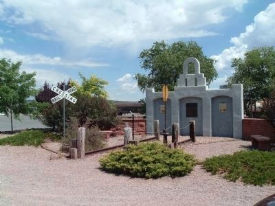
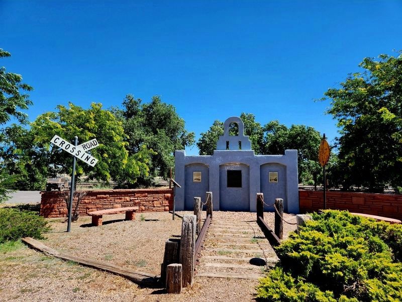
Location. 35° 13.502′ N, 112° 29.113′ W. Marker is in Ash Fork, Arizona, in Yavapai County. Marker is at the intersection of Lewis Avenue (Business Route 40) and 5th Street when traveling west on Lewis Avenue. Touch for map. Marker is in this post office area: Ash Fork AZ 86320, United States of America. Touch for directions.
Other nearby markers. At least 3 other markers are within walking distance of this marker. A different marker also named Ash Fork (here, next to this marker); “The Famous Esclante Hotel” (here, next to this marker); Ash Fork Maintenance Camp #1 (approx. 0.4 miles away).
Credits. This page was last revised on July 8, 2023. It was originally submitted on July 24, 2010, by Bill Kirchner of Tucson, Arizona. This page has been viewed 1,321 times since then and 28 times this year. Photos: 1. submitted on July 24, 2010, by Bill Kirchner of Tucson, Arizona. 2. submitted on July 22, 2010, by Bill Kirchner of Tucson, Arizona. 3. submitted on July 24, 2010, by Bill Kirchner of Tucson, Arizona. 4. submitted on July 24, 2010, by Mike Stroud of Bluffton, South Carolina. 5. submitted on July 8, 2023, by Randi of Seligman, Arizona. • Syd Whittle was the editor who published this page.
