Dudgeon-Monroe in Madison in Dane County, Wisconsin — The American Midwest (Great Lakes)
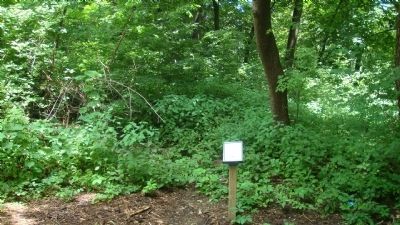
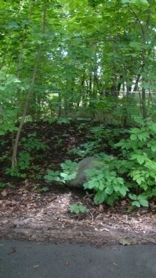
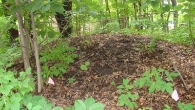
Panther Mound
Erected by Edgewood College.
Topics. This historical marker is listed in these topic lists: Native Americans • Notable Places.
Location. 43° 3.54′ N, 89° 25.128′ W. Marker is in Madison, Wisconsin, in Dane County. It is in Dudgeon-Monroe. Marker is on Edgewood Drive, 0.1 miles west of Edgewood Avenue, on the right when traveling west. Touch for map. Marker is in this post office area: Madison WI 53711, United States of America. Touch for directions.
Other nearby markers. At least 8 other markers are within walking distance of this marker. Edgewood (about 700 feet away, measured in a direct line); Welcome to the Edgewood Park and Pleasure Drive (approx. 0.2 miles away); Indian Bird Effigy Mound (approx. ¼ mile away); Vilas (approx. ¼ mile away); Larson House (approx. 0.4 miles away); John M. Olin (approx. half a mile away); Bear (approx. half a mile away); Indian Mounds (approx. half a mile away). Touch for a list and map of all markers in Madison.
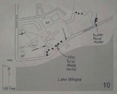
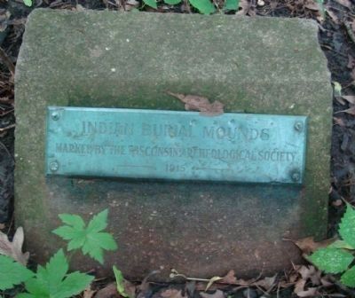
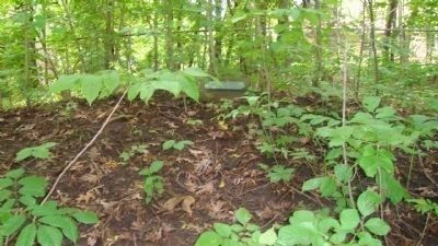
Regarding Panther Mound. According to a 1996 survey by Robert A. Birmingham and Katherine H. Rankin entitled Native American Mounds in Madison and Dane County, "On the grounds of Edgewood College are thirteen mounds overlooking Lake Wingra. One early historical account described Lake Wingra in the summer as a sea of reeds and wild rice. The Winnebago used Lake Wingra as an abundant food source well after Euro-Americans began settling in the area. Along Edgewood Drive, which runs along the lakeshore, are seven conical mounds and the tip of a linear mound along the edge of a drainage swale. Between Edgewood Drive and the library are two remnants of a linear mound. On the other side of the library near Woodrow Street is a large bird effigy. Three conical mounds (of an original group of eight) remain along a path to the north of the Edgewood Campus Grade School playground. Finally, a low mound along the northeast wall of the student services building may be a remnant of one of two bear effigies that once existed on the grounds. Other large mound groups once existed in the Zoo and in the Wingra Park neighborhood to the west. Residential and park development have destroyed all traces."
According to the Madison Landmarks Commission, which designated the mound group, said to date from 700-1200 A.D., as a landmark (no. 104) in 1993, "Wisconsin has the highest concentration of effigy mounds in the United States and the Madison area has one of the highest concentration of effigy mounds remaining. Most mounds were lost to 19th century agricultural
practices and city development. The mound builders were farmers who also engaged in hunting and gathering. They lived in small villages and migrated from one to another based on the seasonal availability of natural resources. The mounds often, but not always, have burials associated with them, but their exact purpose is not entirely understood. Mounds tend to have been built in places with beautiful views of the surrounding countryside. The mounds are considered sacred by modern Native Americans and should be treated with respect."
Credits. This page was last revised on February 16, 2023. It was originally submitted on July 24, 2010, by William J. Toman of Green Lake, Wisconsin. This page has been viewed 2,680 times since then and 69 times this year. Photos: 1, 2, 3. submitted on July 24, 2010, by William J. Toman of Green Lake, Wisconsin. 4, 5, 6, 7. submitted on July 28, 2010, by William J. Toman of Green Lake, Wisconsin. • Bill Pfingsten was the editor who published this page.
