Near Tiffin in Johnson County, Iowa — The American Midwest (Upper Plains)
Historic Iowa City / Mormon Handcart Trail - 1856
Inscription.
Marker Front:
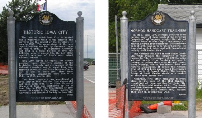
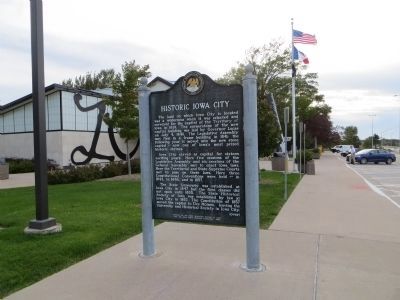
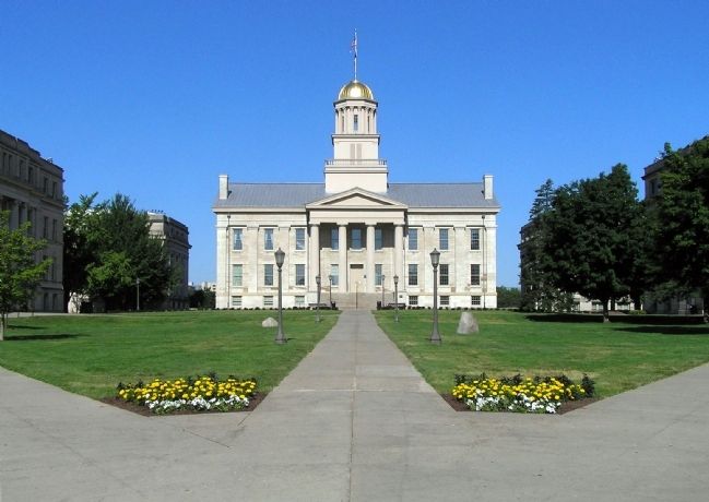
The land on which Iowa City is located was a wilderness when it was selected and surveyed for the capital of the Territory of Iowa in 1839. The cornerstone of the new capitol building was laid by Governor Lucas on July 4, 1840. The Legislative Assembly met first in a frame building in 1841; the following year it moved into the new stone capitol -- now one of Iowa’s most prized historic shrines
Iowa City served as capital for sixteen exciting years. Here five sessions of the Legislative Assembly and six sessions of the General Assembly met to enact Iowa laws. Here the Territorial and State Supreme Courts met to pass on these laws. Here three Constitutional Conventions were held -- in 1844, in 1846, and in 1857.
The State University was established at Iowa City in 1847 but the first classes did not open until 1855. The State Historical Society of Iowa was established by law at Iowa City in 1857. The Constitution of 1857 moved the capital to Des Moines, leaving the University and Historical Society in Iowa City.
(over)
Marker Reverse:
In 1857, some 1,300 Mormon converts from Europe, many of them wards of the Perpetual Emigration Fund Company, reached the railroad “End-of-Track” in Iowa City. Their money exhausted, Brigham Young declared: “Let them come on foot, with hand-carts or wheel-barrows; let them gird up their loins, and walk through and nothing shall hinder them.”
The Mormons encamped at what is now Coralville, while awaiting the completion of their handcarts. The first company of 226 Mormons set out bravely from Coralville on June 7, pushing or pulling their carts through Homestead, Marengo, Newton, Des Moines, Adel, and historic Dalmanutha. It joined the Mormon Trail of 1846 at Lewis and crossed the Missouri River north of Council Bluffs. The Mormon Bridge at North Omaha stands as a symbol to their trek across Iowa.
Meanwhile, two other companies followed close on the heels of the first Handcart expedition, all three reaching Salt Lake City safely before cold weather set in. The fourth and fifth Handcart companies suffered untold hardships and death before they reached their Zion in president-day Utah.
(over)
Erected 1967 by State Historical Society of Iowa and the Iowa State Highway Commission. (Marker Number 4.)
Topics and series. This historical marker is listed in these topic lists: Churches & Religion • Education • Roads & Vehicles • Settlements & Settlers. In addition, it is included in the Iowa - State Historical Society of Iowa, and the Mormon Pioneer Trail series lists.
Location.
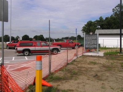
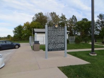
41° 41.616′ N, 91° 40.928′ W. Marker is near Tiffin, Iowa, in Johnson County. Marker can be reached from Interstate 80 at milepost 237,, 6.3 miles east of Black Hawk Avenue NW, on the right when traveling east. The marker is located at Rest Area 9 Eastbound, 5.8 miles east of Exit 230 on Interstate 80. Touch for map. Marker is in this post office area: Tiffin IA 52340, United States of America. Touch for directions.
Other nearby markers. At least 8 other markers are within 8 miles of this marker, measured as the crow flies. Hoover Historic Site / Hoover’s West Branch (about 300 feet away, measured in a direct line); Historic Amana Colonies (about 600 feet away); Mormon Handcart Brigade Camp (approx. 5.1 miles away); Samuel Jordan Kirkwood (approx. 5.9 miles away); The First State University to Admit Women on an Equal Basis with Men (approx. 7.8 miles away); Old Dental Building (approx. 7.9 miles away); The Old Stone Capitol (approx. 7.9 miles away); In Memoriam (approx. 7.9 miles away). Touch for a list and map of all markers in Tiffin.
Also see . . .
1. The University of Iowa. (Submitted on July 26, 2010, by PaulwC3 of Northern, Virginia.)
2. State Historical Society of Iowa. (Submitted on July 26, 2010, by PaulwC3 of Northern, Virginia.)
Credits. This page was last revised on May 27, 2023. It was originally submitted on July 26, 2010, by PaulwC3 of Northern, Virginia. This page has been viewed 1,164 times since then and 25 times this year. Last updated on May 26, 2023, by Jeff Leichsenring of Garland, Texas. Photos: 1, 2. submitted on July 26, 2010, by PaulwC3 of Northern, Virginia. 3, 4. submitted on October 22, 2014, by Bill Kirchner of Tucson, Arizona. 5. submitted on July 26, 2010, by PaulwC3 of Northern, Virginia. • J. Makali Bruton was the editor who published this page.
