Coarsegold in Madera County, California — The American West (Pacific Coastal)
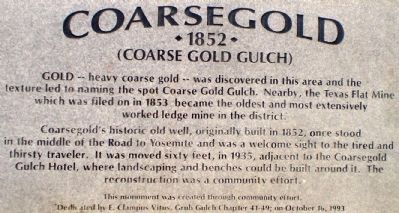
Coarsegold
1852
— (Coarse Gold Gulch) —
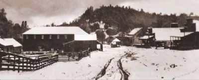
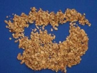
Gold -- heavy coarse gold -- was discovered in this area and the texture led to naming the spot Coarse Gold Gulch. Nearby, the Texas Flat Mine which was filed on in 1853 became the oldest and most extensively worked ledge mine in the district.
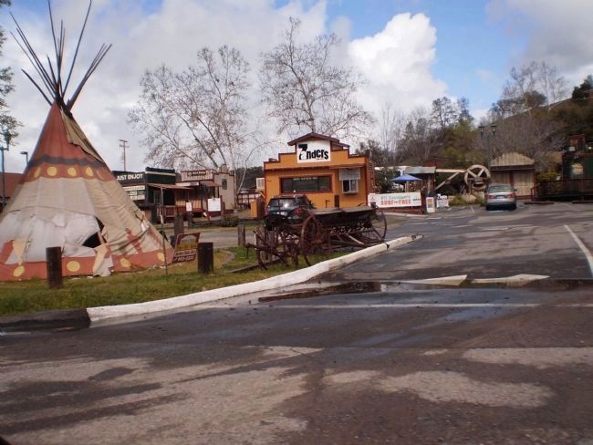
Coarsegold's historic old well, originally built in 1852 once stood in the middle of the Road to Yosemite and was a welcome sight to the tired and thirsty traveler. It was moved sixty feet, in 1935, adjacent to the Coarsegold Gulch Hotel, where the landscaping and benches could be built around it. The reconstruction was a community effort.
Erected 1993 by Grub Gulch Chaoter No. 41-49, E Clampus Vitus.
Topics and series. This historical marker is listed in this topic list: Settlements & Settlers. In addition, it is included in the E Clampus Vitus series list. A significant historical year for this entry is 1853.
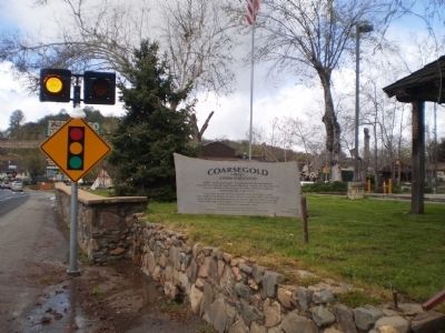
Location. 37° 15.718′ N, 119° 42.003′ W. Marker is in Coarsegold, California, in Madera County. Marker is on Raymond Road (California Route 41) ¼ mile east of County Road 415, on the right when traveling west. Touch for map. Marker is at or near this postal address: 35320 California Highway 41, Coarsegold CA 93614, United States of America. Touch for directions.
Other nearby markers. At least 8 other markers are within 6 miles of this marker, measured as the crow flies. Willow Glen (approx. 3½ miles away); Fresno Flats Townsite (approx. 5.2 miles away); Old French Trail (approx. 5.3 miles away); Highway 49 - The Golden Chain (approx. 5.4 miles away); Oakhurst Centennial (approx. 5.8 miles away); Little Church on the Hill (approx. 5.8 miles away); Grub Gulch (approx. 5.8 miles away); Giant Sequoia Cutting (approx. 5.9 miles away).
Additional keywords. Gold Rush, Mother Lode
Photographed By Lester J Letson, September 4, 2010
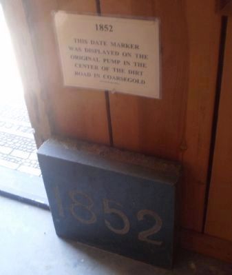
5. 1852 Coarsegold Well Marker
This marker was originally set at the well in the middle of the dirt road in Coarsegold that would eventually become Highway 41. When the well was moved, the marker was not moved with it. It was eventually donated to the Coarsegold Historic Museum where it resides at the doorway to the restored barn,
Credits. This page was last revised on October 2, 2020. It was originally submitted on July 28, 2010, by Lester J Letson of Fresno, California. This page has been viewed 1,411 times since then and 66 times this year. Photos: 1, 2, 3. submitted on July 28, 2010, by Lester J Letson of Fresno, California. 4. submitted on August 17, 2010, by Lester J Letson of Fresno, California. 5. submitted on September 5, 2010, by Lester J Letson of Fresno, California. 6. submitted on August 17, 2010, by Lester J Letson of Fresno, California. • Syd Whittle was the editor who published this page.
Editor’s want-list for this marker. Photo of well mentioned in marker text. • Can you help?
