Pittsburg Landing near Shiloh in Hardin County, Tennessee — The American South (East South Central)
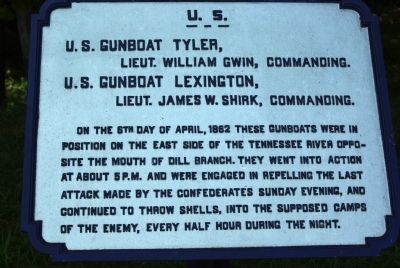
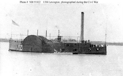
Gunboats Tyler and Lexington
Inscription.
Lieut. William Gwin, commanding
U.S. Gunboat Lexington,
Lieut. James W. Shrink, commanding
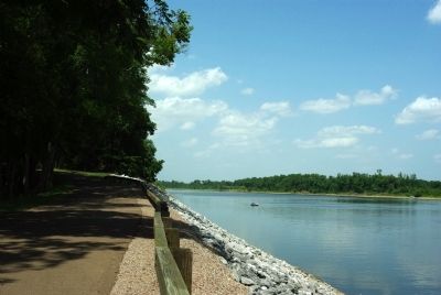
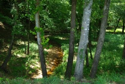
On the 6th day of April, 1862 these gunboats were in position on the east side of the Tennessee River opposite the mouth of Dill Branch. They went into action at about 5 P.M. and were engaged in repelling the last attack made by the Confederates Sunday evening, and continued to throw shells, into the supposed camps of the enemy, every half hour during the night.
Erected by Shiloh National Military Park Commission. (Marker Number 299.)
Topics. This historical marker is listed in this topic list: War, US Civil. A significant historical month for this entry is April 1862.
Location. 35° 8.682′ N, 88° 19.16′ W. Marker is near Shiloh, Tennessee, in Hardin County. It is in Pittsburg Landing. Marker is on Brown's Ferry Road, 0.8 miles east of Hamburg-Savannah Road, on the left when traveling north. Touch for map. Marker is in this post office area: Shiloh TN 38376, United States of America. Touch for directions.
Other nearby markers. At least 8 other markers are within walking distance of this marker. Gunboats on the River (a few steps from this marker); Changing Size and Color (within shouting distance of this marker); Ohio (about 700 feet away, measured in a direct line); End of a Long, Hard Day (approx. 0.2 miles away); Vibrant Community (approx. ¼ mile away); Chalmers' Brigade (approx. 0.3 miles away); Strategic Location (approx. 0.3 miles away); Pittsburg Landing (approx. 0.3 miles away). Touch for a list and map of all markers in Shiloh.
Regarding Gunboats Tyler and Lexington. Contemporary reports indicate that shelling was effective against Chalmers' brigade while they were trying to cross the Dill Branch ravine.
Most works on the battle (e.g. Cunningham, 2007) state that the gunboats fired a shell every 15 minutes Sunday night.
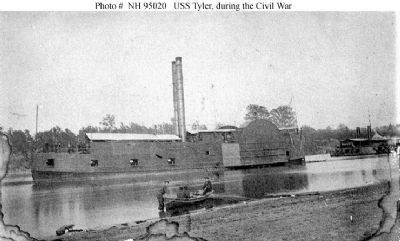
4. USS Tyler
Photo of the gunboat from the war. Note the "City Class" ironclad behind and to the right of the Tyler.
Click for more information.
Click for more information.
Credits. This page was last revised on February 7, 2023. It was originally submitted on July 31, 2010, by Allen Gathman of Pocahontas, Missouri. This page has been viewed 1,356 times since then and 14 times this year. Photos: 1, 2, 3. submitted on July 31, 2010, by Allen Gathman of Pocahontas, Missouri. 4, 5. submitted on August 1, 2010, by Craig Swain of Leesburg, Virginia. • Craig Swain was the editor who published this page.
