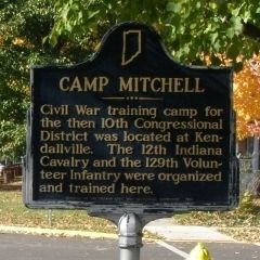
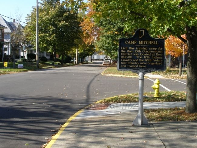
Kendallville in Noble County, Indiana — The American Midwest (Great Lakes)
Camp Mitchell
Erected 1963 by Indiana Civil War Centennial Commission. (Marker Number 57.1963.1.)
Topics and series. This historical marker is listed in these topic lists: Patriots & Patriotism • War, US Civil. In addition, it is included in the Indiana Historical Bureau Markers series list.
Location. 41° 26.472′ N, 85° 15.989′ W. Marker is in Kendallville, Indiana, in Noble County. Marker is at the intersection of Rush Street and Orchard Street, on the right when traveling west on Rush Street. The Police Station is a block away on the corner of Rush and S. Main. Turn west 1 block to the library on the right. The Marker is at the corner with the library. Touch for map. Marker is in this post office area: Kendallville IN 46755, United States of America. Touch for directions.
Other nearby markers. At least 8 other markers are within 9 miles of this marker, measured as the crow flies. Lakeview Cemetery (approx. 1.3 miles away); Civil War Memorial Cannon (approx. 1.4 miles away); Gene Stratton-Porter (approx. 4.9 miles away); South Milford World War I Monument (approx. 6.4 miles away); Sylvan Lake (approx. 6.9 miles away); Memorial To Jacob And Sarah Ober Brechbill (approx. 7.6 miles away); B&O Railroad Depot Albion, IN (approx. 8.7 miles away); World War Veterans Memorial (approx. 8.8 miles away). Touch for a list and map of all markers in Kendallville.
Credits. This page was last revised on June 16, 2016. It was originally submitted on November 7, 2007, by Christopher Light of Valparaiso, Indiana. This page has been viewed 2,273 times since then and 29 times this year. Photos: 1, 2, 3, 4. submitted on November 7, 2007, by Christopher Light of Valparaiso, Indiana. • J. J. Prats was the editor who published this page.


