Colonial Beach in Westmoreland County, Virginia — The American South (Mid-Atlantic)
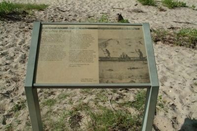
Paradise Found
Inscription.
The ...inhabitants of the Chesapeake Bay Region made ...its bountiful resources. The large pristine bay and its waterways including the Potomac River before ... sustained nearly 27,000 Native Americans.
...around...creeks... of the watershed. Bathing and swimming were ... in a world without horses, dug out canoes skimmed bay tributaries. Salty tidewaters provided seemingly unlimited fish, oysters, and crabs to supplement crops and game. Shells and pearls served as money, jewelry and clothing decoration.
...oyster shells formed...the mounds found near Washington's Birthplace, and ... harvesting. The fluid nature of Native American towns minimized the impact of primitive waste... and farming ... Exhausted fields and ... perated when ... for new areas.
Sixteenth century Spanish, French, and ... explorers discovered this .. paradise. The European ... followed found a pristine world of of abundant resources. Like the natives before them, these settlers exploited the region to the fullest extent allowed by their technology.
A new era had begun for the Chesapeake Bay.
Topics. This historical marker is listed in these topic lists: Colonial Era • Native Americans.
Location. 38° 12.061′ N, 76° 55.903′ W. Marker is in Colonial Beach, Virginia, in Westmoreland County. Marker is on Popes Creek Road. Touch for map. Marker is at or near this postal address: 1732 Popes Creek Road, Colonial Beach VA 22443, United States of America. Touch for directions.
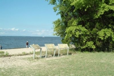
Other nearby markers. At least 8 other markers are within 2 miles of this marker, measured as the crow flies. A New World on the Chesapeake (here, next to this marker); The Bay Today (here, next to this marker); Link to the World (within shouting distance of this marker); John Washington House (approx. 0.3 miles away); Henry Brooks Farm (approx. 0.3 miles away); The Burial Ground (approx. 0.3 miles away); John Muse (approx. 0.8 miles away); Artery of Commerce (approx. 1.3 miles away). Touch for a list and map of all markers in Colonial Beach.
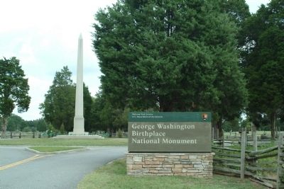
More about this marker. The marker is at George Washington Birthplace National Monument, one of our National Parks. To reach the marker, take the beach road to the left as you enter the park. The marker is weathered and difficult to read in places.
Also see . . . George Washington Birthplace National Monument. Website of the National Park Service. (Submitted on August 5, 2010, by Patrick G. Jordan of Graham, North Carolina.)
Additional keywords. Washington's Birthplace National Memorial
Credits. This page was last revised on June 16, 2016. It was originally submitted on August 5, 2010, by Patrick G. Jordan of Graham, North Carolina. This page has been viewed 580 times since then and 14 times this year. Photos: 1, 2, 3. submitted on August 5, 2010, by Patrick G. Jordan of Graham, North Carolina. • Bill Pfingsten was the editor who published this page.


