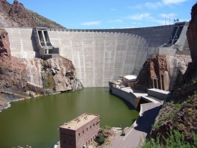
Near Apache Junction in Pinal County, Arizona — The American Mountains (Southwest)
Roosevelt Dam
1903-1911
— Tonto National Forest —
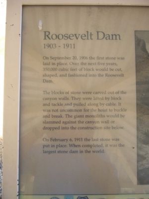
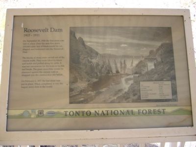
On September 20, 1906 the first stone was laid in place. Over the next five years, 350,000 cubic feet of block would be cut, shaped, and fashioned into the Roosevelt Dam.
The blocks of stone were carved out of the canyon walls. They were lifted by block and tackle and pulled along by cable. It was not uncommon for the hoist to buckle and break. The giant monoliths would be slammed against the canyon wall or dropped into the construction site below.
On February 6, 1911 the last stone was put in place. When completed, it was the largest stone dam in the world.
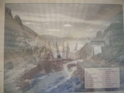
Inset:
Structural Height - 280 feet
Top Width - 16 feet
Maximum Base Width - 184 feet
Crest Length - 723 feet
Crest Elevation (w/o parapets) - 2141 feet
Lake Capacity - 1,336,734 acre-feet
Lake Surface - 17,337 acres
Erected by Forest Service, U.S. Department of Agriculture.
Topics. This historical marker is listed in these topic lists: Charity & Public Work • Industry & Commerce • Waterways & Vessels. A significant historical month for this entry is February 1909.
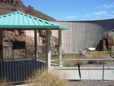
Location. 33° 40.138′ N, 111° 9.828′ W. Marker is near Apache Junction, Arizona, in Pinal County. Marker can be reached from The Apache Trail (Arizona Route 88 at milepost 241). Marker is at an overlook, about 300 feet down a sidewalk from the parking lot at milepost 241. Touch for map. Marker is in this post office area: Apache Junction AZ 85119, United States of America. Touch for directions.
Other nearby markers. At least 8 other markers are within walking distance of this marker. A different marker also named Roosevelt Dam (here, next to this marker); The People Who Made It Happen (here, next to this marker); Alchesay (about 300 feet away, measured in a direct line); Welcome to the Apache Trail Historic Road (about 500 feet away); The Bridge (approx. 0.3 miles away); Tonto Basin (approx. 0.3 miles away); Salt River Before the Dam (approx. 0.3 miles away); Al Sieber (approx. 0.7 miles away). Touch for a list and map of all markers in Apache Junction.
Related markers. Click here for a list of markers that are related to this marker. To better understand the relationship, study each marker in the order shown.
Credits. This page was last revised on August 30, 2020. It was originally submitted on August 6, 2010, by Bill Kirchner of Tucson, Arizona. This page has been viewed 915 times since then and 35 times this year. Photos: 1, 2, 3, 4, 5. submitted on August 6, 2010, by Bill Kirchner of Tucson, Arizona. • Syd Whittle was the editor who published this page.
