Elkton in Giles County, Tennessee — The American South (East South Central)
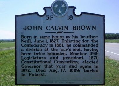
John Calvin Brown
Erected by Tennessee Historical Commission. (Marker Number 3F 18.)
Topics and series. This historical marker is listed in this topic list: War, US Civil. In addition, it is included in the Tennessee Historical Commission series list. A significant historical date for this entry is June 1, 1850.
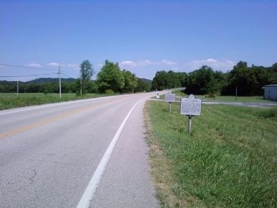
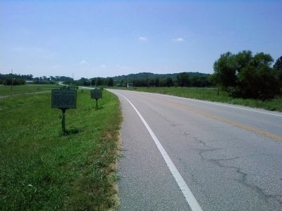
Location. 35° 5.283′ N, 86° 55.75′ W. Marker is in Elkton, Tennessee, in Giles County. Marker is on Elkton Pike (U.S. 31) north of Newman Road, on the right when traveling south. Marker is located just south of the northern Elkton city limits sign. Touch for map. Marker is in this post office area: Elkton TN 38455, United States of America. Touch for directions.
Other nearby markers. At least 8 other markers are within 7 miles of this marker, measured as the crow flies. Neill S. Brown (a few steps from this marker); Elkton Bridge (approx. 3.7 miles away); First Section of Tennessee Interstate (approx. 4.6 miles away); Civil War in Tennessee (approx. 4.6 miles away); Tennessee AMVETS Veterans Memorial (approx. 4.6 miles away); Seventh Kentucky Mounted Infantry Memorial (approx. 5.4 miles away); Forrest's September Raid (approx. 5.4 miles away); Pisgah United Methodist Church and Cemetery (approx. 6.4 miles away). Touch for a list and map of all markers in Elkton.
Credits. This page was last revised on December 15, 2019. It was originally submitted on August 7, 2010, by Lee Hattabaugh of Capshaw, Alabama. This page has been viewed 1,138 times since then and 28 times this year. Photos: 1, 2, 3. submitted on August 7, 2010, by Lee Hattabaugh of Capshaw, Alabama. • Bill Pfingsten was the editor who published this page.


