Near Williamsville in Bath County, Virginia — The American South (Mid-Atlantic)
The Turnpike Movement in Virginia, 1825-1835

Photographed By Devry Becker Jones (CC0), May 8, 2021
1. The Turnpike Movement in Virginia, 1825-1835 Marker
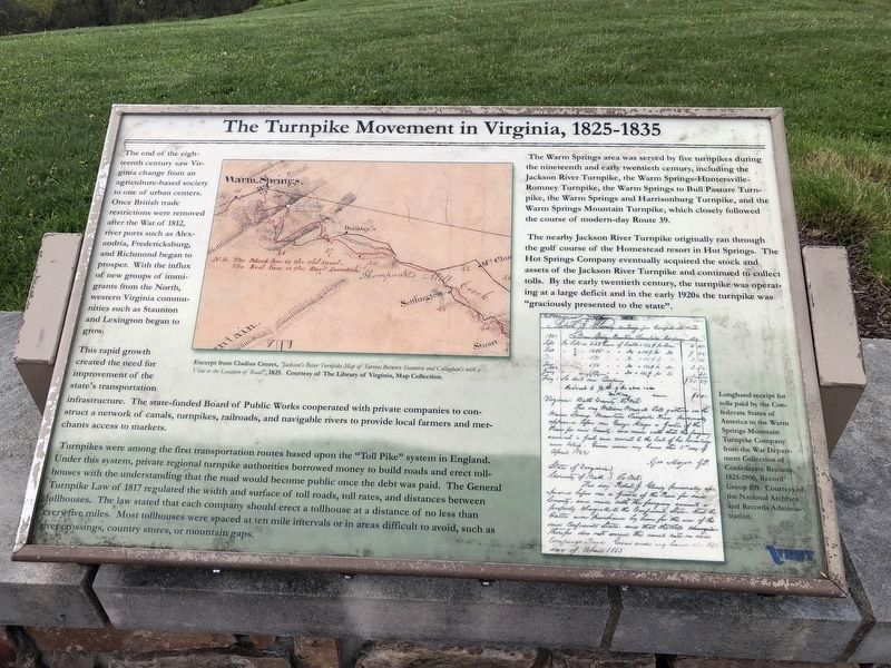
The end of the eighteenth century saw Virginia change from an agriculture-based society to one of urban centers. Once British trade restrictions were removed after the War of 1812, river ports such as Alexandria, Fredericksburg, and Richmond began to prosper. With the influx of new groups of immigrants from the North, western Virginia communities such as Staunton and Lexington began to grow.
This rapid growth created the need for improvement of the state's transportation infrastructure. The state-funded Board of Public Works cooperated with private companies to construct a network of canals, turnpikes, railroads, and navigable rivers to provide local farmers and merchants access to markets.
Turnpikes were among the first transportation routes based upon the "Toll Pike" system in England. Under this system, private regional turnpike authorities borrowed money to build roads and erect tollhouses with the understanding that the road would become public once the debt was paid. The General Turnpike Law of 1817 regulated the width and surface of toll roads, toll rates, and distances between tollhouses. The law stated that each company should erect a tollhouse at a distance of no less than every five miles. Most tollhouses were spaced at ten mile intervals or in areas difficult to avoid, such as river crossings, country stores, or mountain gaps.
The Warm Springs area was served by five turnpikes during the nineteenth and early twentieth century, including the Jackson River Turnpike, the War Springs-Huntersville-Romney Turnpike, the Warm Springs to Bull Pasture Turnpike, the Warm Springs and Harrisonburg Turnpike, and the Warm Springs Mountain Turnpike, which closely followed the course of modern-day Route 39.
The nearby Jackson River Turnpike originally ran through the golf course of the Homestead resort in Hot Springs. The Hot Springs Company eventually acquired the stock and assets of the Jackson River Turnpike and continued to collect tolls. By the early twentieth century, the turnpike was operating at a large deficit and in the early 1920s the turnpike was "graciously presented to the state".
Erected by Virginia Department of Transportation.
Topics. This historical marker is listed in these topic lists: Roads & Vehicles • War, US Civil. A significant historical year for this entry is 1812.
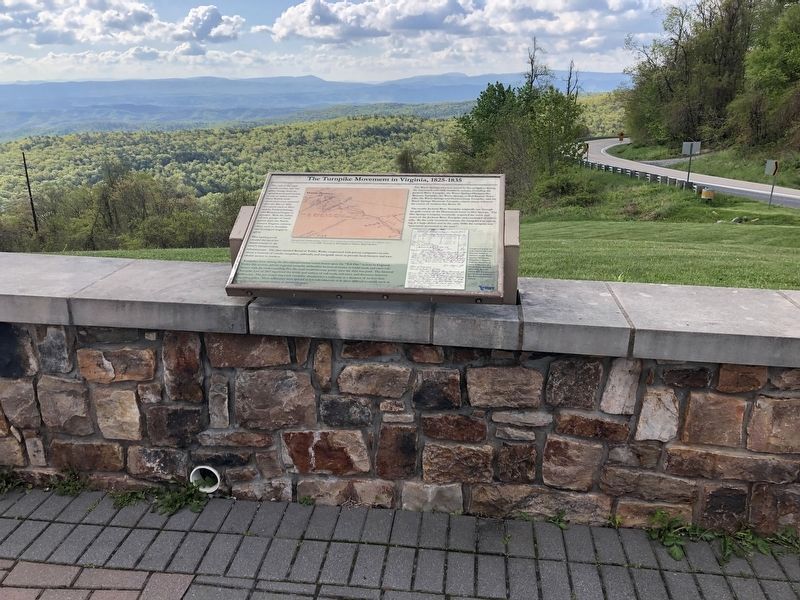
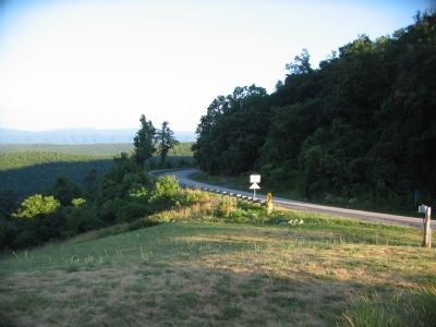
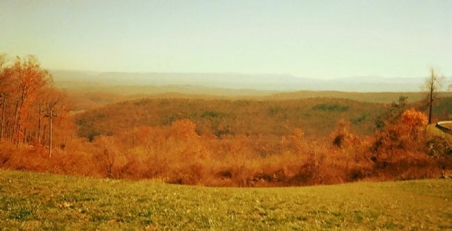
Location. 38° 3.058′ N, 79° 45.969′ W. Marker is near Williamsville, Virginia, in Bath County. Marker is at the intersection of State Highway 39 and Homestead Mountain Drive, on the right when traveling west on State Highway 39. Located at the Dan Ingalls Overlook in George Washington National Forest. Touch for map

Photographed By Devry Becker Jones (CC0), May 8, 2021
2. The Turnpike Movement in Virginia, 1825-1835 Marker
Other nearby markers. At least 8 other markers are within walking distance of this marker. Life at the Tollhouse (here, next to this marker); The Land and Natural Resources of Bath County (here, next to this marker); The Virginia Springs Resorts (a few steps from this marker); Settlement on Warm Springs Mountain (a few steps from this marker); The Rev. Dr. William H. Sheppard (approx. 0.8 miles away); Early Bath County Courthouses (approx. 0.8 miles away); Terrill Hill (approx. 0.8 miles away); Warm Springs Baths (approx. 0.8 miles away). Touch for a list and map of all markers in Williamsville.
Also see . . . Warm Springs Mountain. Nature Conservancy website entry (Submitted on August 10, 2010, by Craig Swain of Leesburg, Virginia.)
Credits. This page was last revised on March 13, 2022. It was originally submitted on August 10, 2010, by Craig Swain of Leesburg, Virginia. This page has been viewed 1,233 times since then and 54 times this year. Last updated on May 9, 2021, by Bradley Owen of Morgantown, West Virginia. Photos: 1, 2. submitted on May 9, 2021, by Devry Becker Jones of Washington, District of Columbia. 3. submitted on August 10, 2010, by Craig Swain of Leesburg, Virginia. 4. submitted on November 11, 2011, by Hazel Thomas of Easley, South Carolina. • J. Makali Bruton was the editor who published this page.

