Near Goliad in Goliad County, Texas — The American South (West South Central)
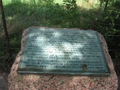
Goliad County
Established as a mission in 1749. Became a strategic fort under Spanish, Mexican, Texas occupancy, 1810-1821, 1835-1836. Name changed to Goliad and created a Mexican municipality in 1829. Scene of massacre of Fannin and his command in 1836.
Organized as a county, 1836, with town of Goliad as the county seat.
Home of Confederate General Hamilton P. Bee. From population of 3,384 county seat sent several army companies to the Civil War.
Erected 1936 by State of Texas. (Marker Number 2203.)
Topics and series. This historical marker is listed in these topic lists: War, Texas Independence • War, US Civil. In addition, it is included in the Texas 1936 Centennial Markers and Monuments series list. A significant historical year for this entry is 1749.
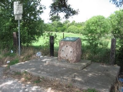
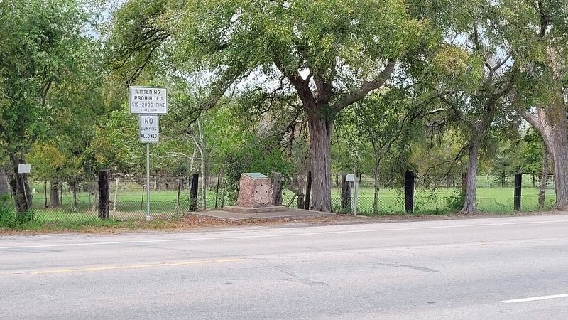
Location. 28° 38.73′ N, 97° 26.407′ W. Marker is near Goliad, Texas, in Goliad County. Marker is on U.S. 59, on the left when traveling east. 4 miles west of Goliad. Touch for map. Marker is in this post office area: Goliad TX 77963, United States of America. Touch for directions.
Other nearby markers. At least 8 other markers are within 4 miles of this marker, measured as the crow flies. Site of Mission Nuestra Señora del Rosario (within shouting distance of this marker); Mission Rosario State Historic Site / Sitio Histórico Estatal Misión Nuestra Señora del Rosario (about 300 feet away, measured in a direct line); Blazing New Trails / Abriendo Nuevos Horizontes (about 400 feet away); Bird's Eye View / Vista Aérea (about 400 feet away); Peck Cemetery (approx. 2.8 miles away); Fannin Street United Methodist Church (approx. 3 miles away); Founding Site of First Baptist Church of Goliad (approx. 3.1 miles away); Judge Pryor Lea Home (approx. 3.2 miles away). Touch for a list and map of all markers in Goliad.
Also see . . . Goliad County - The Handbook of Texas Online. Texas State Historical Association (TSHA) (Submitted on April 9, 2019, by Brian Anderson of Humble, Texas.)
Credits. This page was last revised on November 2, 2023. It was originally submitted on August 11, 2010, by Steve Gustafson of Lufkin, Texas. This page has been viewed 1,154 times since then and 14 times this year. Photos: 1, 2. submitted on August 11, 2010, by Steve Gustafson of Lufkin, Texas. 3. submitted on November 2, 2023, by James Hulse of Medina, Texas. • Craig Swain was the editor who published this page.


