Windsor in Essex County, Ontario — Central Canada (North America)
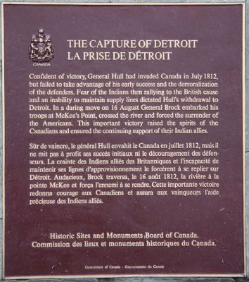
The Capture of Detroit
Erected by Historic Sites and Monuments Board of Canada.
Topics and series. This historical marker is listed in these topic lists: Native Americans • War of 1812. In addition, it is included in the Canada, Historic Sites and Monuments Board series list. A significant historical month for this entry is July 1812.
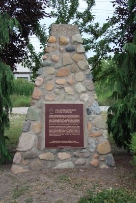
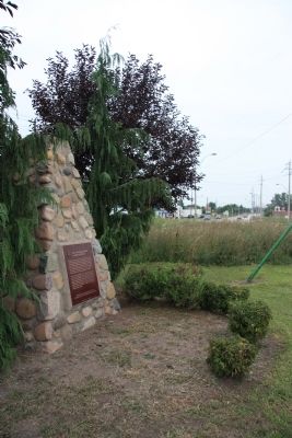
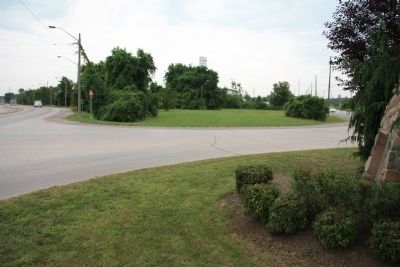
Location. 42° 17.027′ N, 83° 5.194′ W. Marker is in Windsor, Ontario, in Essex County. Marker is at the intersection of Sandwich Street and Ojibway Parkway, on the right when traveling south on Sandwich Street. This historical marker is located on the west side of Sandwich Street, just opposite of where the Ojibway Parkway blends into Sandwich Street from the southeast. The historical marker itself is affixed to a pyramid of stacked stones. Touch for map. Marker is in this post office area: Windsor ON N9C 1C5, Canada. Touch for directions.
Other nearby markers. At least 8 other markers are within 5 kilometers of this marker, measured as the crow flies. Fort Wayne (approx. 2 kilometers away in the U.S.); District Court House and Goal (approx. 2 kilometers away); River Rouge Shipbuilding (approx. 2.5 kilometers away in the U.S.); Detroit Copper & Brass (approx. 2.8 kilometers away in the U.S.); Jesuit Mission to the Hurons (approx. 3.1 kilometers away); 1748 (approx. 3.1 kilometers away); Montreal Point in 1782 (approx. 3.5 kilometers away); Woodmere Cemetery (approx. 3.9 kilometers away in the U.S.). Touch for a list and map of all markers in Windsor.
Related markers. Click here for a list of markers that are related to this marker. To better understand the relationship, study each marker in the order shown.
Also see . . .
1. The Capture of Detroit 1812. This is a link to information provided by the War of 1812 Website. (Submitted on August 12, 2010, by Dale K. Benington of Toledo, Ohio.)
2. Battle of Detroit Canada Campaign. This is a link to information provided by a website entitled, "The War of 1812." (Submitted on August 12, 2010, by Dale K. Benington of Toledo, Ohio.)
Credits. This page was last revised on July 27, 2020. It was originally submitted on August 12, 2010, by Dale K. Benington of Toledo, Ohio. This page has been viewed 1,535 times since then and 53 times this year. Photos: 1, 2, 3, 4. submitted on August 12, 2010, by Dale K. Benington of Toledo, Ohio.


