Near Belington in Barbour County, West Virginia — The American South (Appalachia)
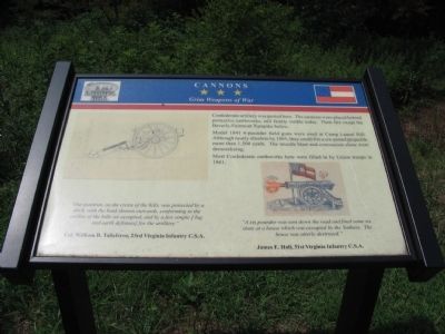
Cannons
Grim Weapons of War
Model 1841 6-pounder field guns were used at Camp Laurel Hill. Although nearly obsolete by 1861, they could fire a six-pound projectile more than 1,500 yards. The muzzle blast and concussion alone were demoralizing.
Most Confederate earthworks here were filled in by Union troops in 1861.
"Our position, on the crests of the hills, was protected by a ditch, with the bank thrown outwards, conforming to the outline of the hills we occupied, and by a few simple [log and earth defenses] for the artillery."
Col. William B. Taliaferro, 23rd Virginia Infantry C.S.A.
"A six pounder was sent down the road and fired some six shots at a house which was occupied by the Yankees. The house was utterly destroyed."
James E. Hall, 31st Virginia Infantry C.S.A.
Topics. This historical marker is listed in this topic list: War, US Civil. A significant historical year for this entry is 1841.
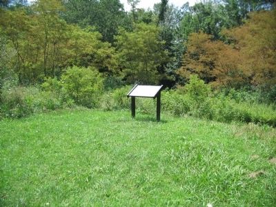
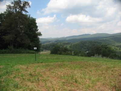
Location. 39° 0.469′ N, 79° 54.894′ W. Marker is near Belington, West Virginia, in Barbour County. Marker can be reached from Laurel Mountain Road (County Route 15), on the right when traveling east. Located in Laurel Hill Camp beside the Mill Creek Reservoir. Touch for map. Marker is in this post office area: Belington WV 26250, United States of America. Touch for directions.
Other nearby markers. At least 8 other markers are within walking distance of this marker. Confederate Cemetery (about 300 feet away, measured in a direct line); Battle of Laurel Hill (about 500 feet away); Forced Flight (approx. 0.2 miles away); Laurel Hill (approx. 0.2 miles away); Civil War (approx. ¼ mile away); Welcome to Camp Laurel Hill (approx. 0.3 miles away); Laurel Hill Battlefield Veterans Memorial (approx. 0.3 miles away); Camp Laurel Hill (approx. 0.3 miles away). Touch for a list and map of all markers in Belington.
More about this marker. On the marker are illustrations of Civil War cannon.
Also see . . . Battle of Laurel Hill. Website with details of the battle. (Submitted on August 15, 2010, by Craig Swain of Leesburg, Virginia.)
Credits. This page was last revised on June 16, 2016. It was originally submitted on August 15, 2010, by Craig Swain of Leesburg, Virginia. This page has been viewed 1,162 times since then and 36 times this year. Photos: 1, 2, 3. submitted on August 15, 2010, by Craig Swain of Leesburg, Virginia.


