Near Strasburg in Shenandoah County, Virginia — The American South (Mid-Atlantic)
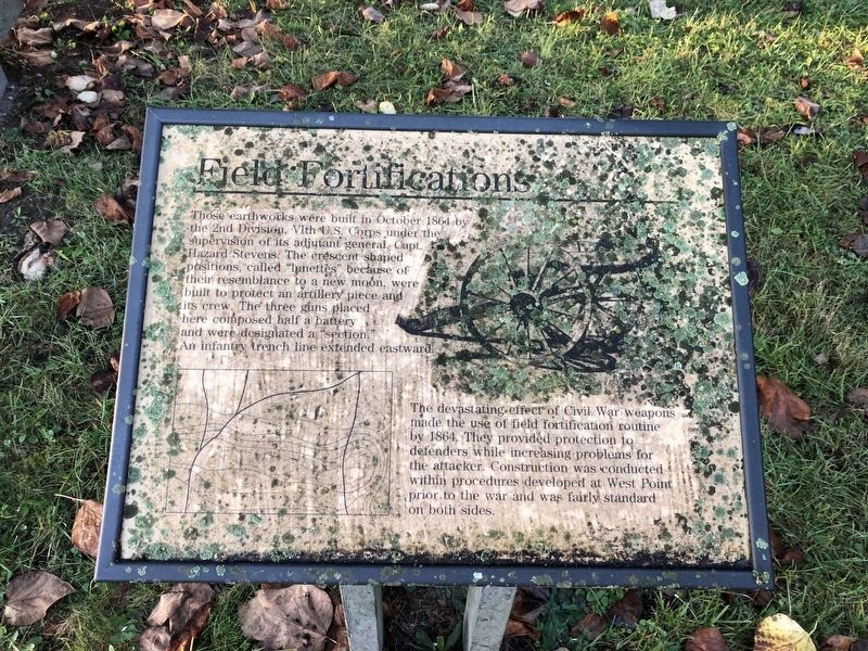
Field Fortifications
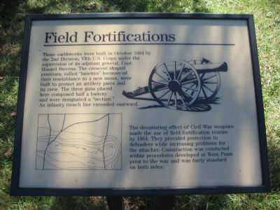
The devastating effect of Civil War weapons made the use of field fortifications routine by 1864. They provided protection to defenders while increasing problems for the attacker. Construction was conducted within procedures developed at West Point prior to the war and was fully standard on both sides.
Topics. This historical marker is listed in this topic list: War, US Civil. A significant historical month for this entry is October 1864.
Location. 39° 0.033′ N, 78° 20.973′ W. Marker is near Strasburg, Virginia, in Shenandoah County. Marker can be reached from Valley Pike (U.S. 11) 0.1 miles west of Signal Knob Drive, on the right when traveling south. Located just off the parking lot for the Stonewall Jackson Headquarters Museum / Crystal Caverns. Touch for map. Marker is at or near this postal address: 33229 Old Valley Pike, Strasburg VA 22657, United States of America. Touch for directions.
Other nearby markers. At least 8 other markers are within walking distance of this marker. The Shenandoah Valley / Battle of Cedar Creek, October 19, 1864 (here, next to this marker); Trail Head (here, next to this marker); Hupp’s Hill (a few steps from this marker); A Natural Bombproof (within shouting distance of this marker); Signal Knob (within shouting distance of this marker); Strasburg (within shouting distance of this marker); Hupp's "Little Gem" (within shouting distance of this marker); Crystal Caverns Mine (within shouting distance of this marker). Touch for a list and map of all markers in Strasburg.
More about this marker. The marker displays a drawing of a Civil War cannon and a topographical map of the positioned described.
Also see . . . Battle of Cedar Creek Staff Ride. The Museum is tour stop one on the Center of Military History staff ride of the Battle of Cedar Creek. (Submitted on November 10, 2007, by Craig Swain of Leesburg, Virginia.)
Photographed By Devry Becker Jones (CC0), October 31, 2020
2. Field Fortifications Marker
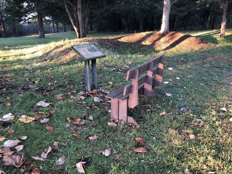
The marker has weathered significantly.
Credits. This page was last revised on November 1, 2020. It was originally submitted on November 10, 2007, by Craig Swain of Leesburg, Virginia. This page has been viewed 1,509 times since then and 44 times this year. Photos: 1. submitted on November 10, 2007, by Craig Swain of Leesburg, Virginia. 2. submitted on November 1, 2020, by Devry Becker Jones of Washington, District of Columbia. 3. submitted on November 10, 2007, by Craig Swain of Leesburg, Virginia. 4. submitted on November 1, 2020, by Devry Becker Jones of Washington, District of Columbia. 5. submitted on November 10, 2007, by Craig Swain of Leesburg, Virginia.
