Marker Logo HMdb.org THE HISTORICAL
MARKER DATABASE
“Bite-Size Bits of Local, National, and Global History”
Stratford in Westmoreland County, Virginia — The American South (Mid-Atlantic)
 

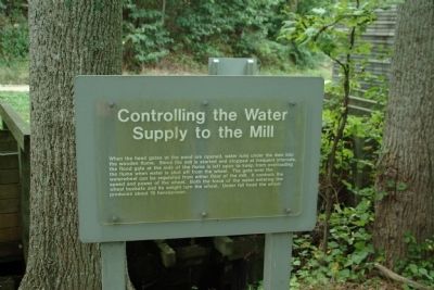
Controlling the Water Supply to the Mill


Controlling the Water Supply to the Mill Marker image. Click for full size.
Photographed By Paul Jordan, August 2, 2010
1. Controlling the Water Supply to the Mill Marker
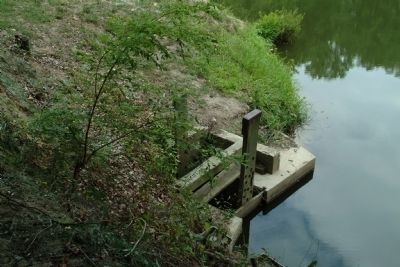
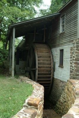
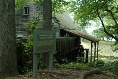
Inscription. When the head gates at the pond are opened, water runs under the dam into the wooden flume. Since the mill is started and stopped at frequent intervals, the flood gate at the side of the flume is left open to keep from overloading the flume when the water is shut off from the wheel. The gate over the waterwheel can be regulated from either floor of the mill. It controls the speed and power of the wheel. Both the force of the water entering the wheel buckets and its weight turn the wheel. Under full head the wheel produces about 15 horsepower.
 
Topics. This historical marker is listed in these topic lists: AgricultureColonial EraIndustry & Commerce.
 
Location. 38° 9.741′ N, 76° 49.886′ W. Marker is in Stratford, Virginia, in Westmoreland County. Marker can be reached from Great House Road. The marker is on the grounds of Stratford Hall Plantation, the birthplace of Robert E. Lee. The historic site is on Stratford Hall Road (VA Highway 214), on the left when traveling east. The site is open to the public, for a fee. Touch for map. Marker is in this post office area: Stratford VA 22558, United States of America. Touch for directions.
 
Other nearby markers. At least 8 other markers are within walking distance of this marker. The Stratford Mill (within shouting distance of this marker); Stratford Landing: Significant Events (within shouting distance of
Paid Advertisement
Click on the ad for more information.
Please report objectionable advertising to the Editor.
Click or scan to see
this page online
this marker); The Landing: Gateway to the World (within shouting distance of this marker); The Stratford Cliffs (approx. ¼ mile away); Clifts Plantation Site (approx. 0.4 miles away); Clifts Plantation Burial Ground (approx. 0.4 miles away); Slave Cemetery (approx. ¾ mile away); a different marker also named Slave Cemetery (approx. ¾ mile away). Touch for a list and map of all markers in Stratford.
 
Also see . . .  Stratford Hall Historic Site. (Submitted on August 15, 2010, by Paul Jordan of Burlington, N. C., U. S. A..)
 
Controlling the Water Supply to the Mill Marker image. Click for full size.
Photographed By Paul Jordan, August 2, 2010
2. Controlling the Water Supply to the Mill Marker
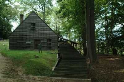
Stratford Mill image. Click for full size.
Photographed By Paul Jordan, August 2, 2010
3. Stratford Mill
The Sluice Gate in the Mill Pond image. Click for full size.
Photographed By Paul Jordan, August 2, 2010
4. The Sluice Gate in the Mill Pond
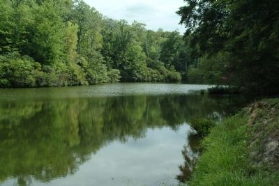
The Mill Pond image. Click for full size.
Photographed By Paul Jordan, August 2, 2010
5. The Mill Pond
Stratford Mill image. Click for full size.
Photographed By Paul Jordan, August 2, 2010
6. Stratford Mill
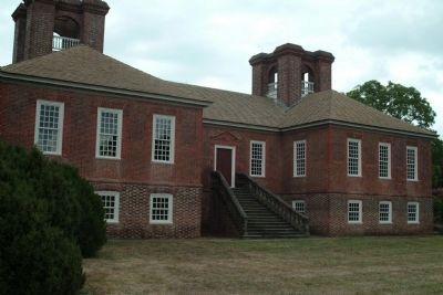
Stratford Hall image. Click for full size.
Photographed By Paul Jordan, August 2, 2010
7. Stratford Hall
 
 
Credits. This page was last revised on June 16, 2016. It was originally submitted on August 15, 2010, by Paul Jordan of Burlington, N. C., U. S. A.. This page has been viewed 514 times since then and 8 times this year. Photos:   1, 2, 3, 4, 5, 6, 7. submitted on August 15, 2010, by Paul Jordan of Burlington, N. C., U. S. A.. • Bill Pfingsten was the editor who published this page.
Share this page.  
Share on Tumblr
m=34469

CeraNet Cloud Computing sponsors the Historical Marker Database.
This website earns income from purchases you make after using our links to Amazon.com. We appreciate your support.
Paid Advertisement
Apr. 18, 2024