Chandler in Maricopa County, Arizona — The American Mountains (Southwest)
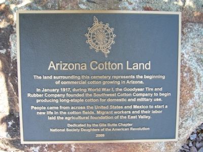
Arizona Cotton Land
In January 1917, during World War I, the Goodyear Tire and Rubber Company founded the Southwest Cotton Company to begin producing long-staple cotton for domestic and military use.
People came from across the United States and Mexico to start a new life in the cotton fields. Migrant workers and their labor laid the agricultural foundation of the East Valley.
Erected 2009 by Gila Butte Chapter, National Society Daughters of the American Revolution.
Topics and series. This historical marker is listed in these topic lists: Agriculture • Industry & Commerce. In addition, it is included in the Daughters of the American Revolution series list. A significant historical month for this entry is January 1917.
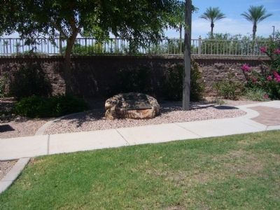
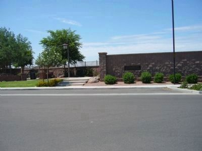
Location. 33° 14.167′ N, 111° 50.883′ W. Marker is in Chandler, Arizona, in Maricopa County. Marker is on South Iowa Street, 0.1 miles south of Fulton Ranch Blvd., on the right when traveling south. Marker is located at the Goodyear Cemetery. Touch for map. Marker is in this post office area: Chandler AZ 85248, United States of America. Touch for directions.
Other nearby markers. At least 8 other markers are within 5 miles of this marker, measured as the crow flies. Goodyear – Ocotillo Cemetery (here, next to this marker); The McCormick Building (approx. 4.6 miles away); First National Bank, 1918 (approx. 4.6 miles away); Hotel Chandler (approx. 4.6 miles away); Historic A. J. Chandler Park / The Chandler District Honor Roll (approx. 4.6 miles away); Anderson Building (approx. 4.6 miles away); Price Building (approx. 4.6 miles away); Dougherty Building (approx. 4.6 miles away). Touch for a list and map of all markers in Chandler.
Credits. This page was last revised on August 18, 2023. It was originally submitted on August 18, 2010, by Bill Kirchner of Tucson, Arizona. This page has been viewed 1,708 times since then and 88 times this year. Photos: 1, 2, 3. submitted on August 18, 2010, by Bill Kirchner of Tucson, Arizona. • Syd Whittle was the editor who published this page.


