Lower Township near Cape May in Cape May County, New Jersey — The American Northeast (Mid-Atlantic)
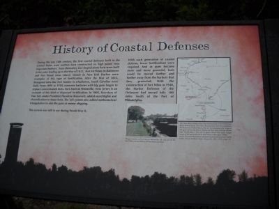
History of Coastal Defenses
This system was still in use during World War II.
With each generation of coastal defense, fewer fortifications were required. And as guns became more and more powerful, forts could be moved further and further away from the harbors that they protected. With the construction of Fort Miles in 1940, the Harbor Defenses of the Delaware had moved fully 100 miles South of the Port of Philadelphia.
Topics and series. This historical marker is listed in these topic lists: Military • Waterways & Vessels. In addition, it is included in the Former U.S. Presidents: #26 Theodore Roosevelt, and the Former U.S. Presidents: #27 William Howard Taft series lists. A significant historical year for this entry is 1812.
Location. 38° 56.615′ N, 74° 58.012′ W. Marker is near Cape May, New Jersey, in Cape May County. It is in Lower Township. Marker is on Sunset Blvd. (County Route 606), on the left when traveling west. Touch for map. Marker is in this post office area: Cape May NJ 08204, United States of America. Touch for directions.
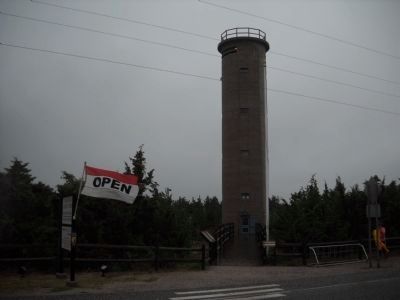
Other nearby markers. At least 8 other markers are within walking distance of this marker. Fire Control Tower No. 23 (here, next to this marker); The Top of the Fire Tower (here, next to this marker); Construction of Fire Control Tower No. 23 (here, next to this marker); The abrupt end of Fort Miles (a few steps from this marker); The Construction of Fort Miles (a few steps from this marker); Landscape (a few steps from this marker); Cape May during World War II (a few steps from this marker); All Veterans Memorial (within shouting distance of this marker). Touch for a list and map of all markers in Cape May.
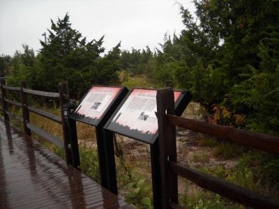
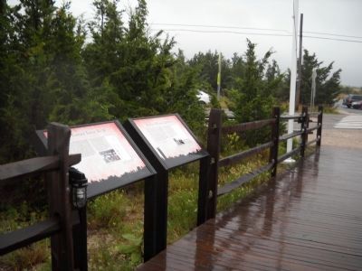
More about this marker. The background of the marker contains a silhouette of the area showing Fire Control Tower No. 23. Also present is a photograph of “The gun battery at Fort Mott in Pennsville, NJ, [which] was part of the late 19th-century defense of the Delaware River.” and a map of fortifications along the lower Delaware River. The map has a caption of “The map above shows how the fortifications of the Delaware River shifted some 100 miles downstream from the American Revolution to World War II. The arc in red shows the range of the guns at Fort Saulsbury, Delaware that were erected shortly after World War I. The arc in green shows the much longer range of the guns placed in Fort Miles in the early 1940s. Lewis, Emanuel Raymond, Seacoast Fortifications of the United States (Naval Institute Press, Annapolis, MD, 1970), page 13.”
Credits. This page was last revised on February 7, 2023. It was originally submitted on August 20, 2010, by Bill Coughlin of Woodland Park, New Jersey. This page has been viewed 758 times since then and 7 times this year. Photos: 1, 2, 3, 4. submitted on August 20, 2010, by Bill Coughlin of Woodland Park, New Jersey.


