St. Leonard in Calvert County, Maryland — The American Northeast (Mid-Atlantic)
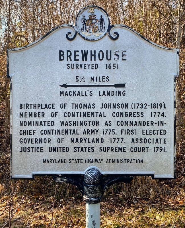
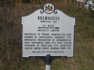
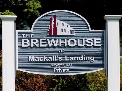
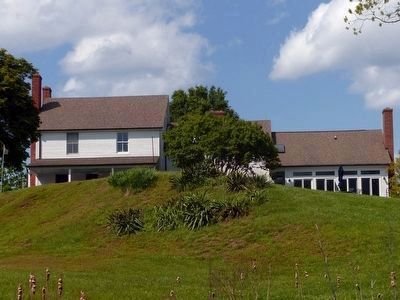
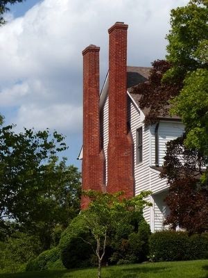
Brewhouse
Surveyed 1651
— 5½ Miles. ← Mackall’s Landing. —
Erected by Maryland State Highway Administration.
Topics. This historical marker is listed in these topic lists: Colonial Era • Government & Politics • Patriots & Patriotism • War, US Revolutionary. A significant historical year for this entry is 1774.
Location. 38° 26.996′ N, 76° 29.637′ W. Marker is in St. Leonard, Maryland, in Calvert County. Marker is at the intersection of Parran Road and Solomons Island Road (Maryland Route 2/4), on the right when traveling west on Parran Road. Touch for map. Marker is in this post office area: Saint Leonard MD 20685, United States of America. Touch for directions.
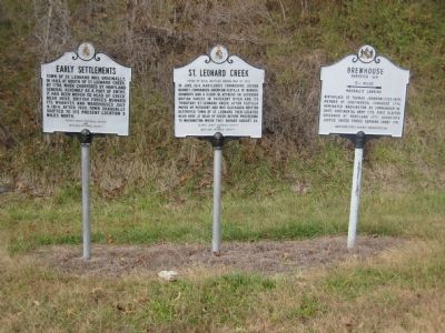
Other nearby markers. At least 8 other markers are within 4 miles of this marker, measured as the crow flies. St. Leonard Creek (here, next to this marker); Early Settlements (here, next to this marker); St. Leonard Polling House and Garden of Remembrance (approx. 1.6 miles away); Turning Point (approx. 1.6 miles away); The St. Leonard Polling House (approx. 1.7 miles away); The Garden of Remembrance (approx. 1.7 miles away); Preston on Patuxent (approx. 3.1 miles away); Veitch’s Cove (approx. 3.3 miles away). Touch for a list and map of all markers in St. Leonard.
Credits. This page was last revised on April 19, 2022. It was originally submitted on November 11, 2007, by F. Robby of Baltimore, Maryland. This page has been viewed 2,016 times since then and 72 times this year. Photos: 1. submitted on April 17, 2022, by Shane Oliver of Richmond, Virginia. 2, 3. submitted on November 11, 2007, by F. Robby of Baltimore, Maryland. 4, 5, 6. submitted on May 18, 2016, by Allen C. Browne of Silver Spring, Maryland.
