Independence in Jackson County, Missouri — The American Midwest (Upper Plains)
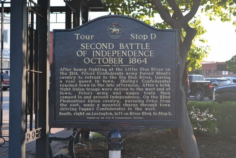
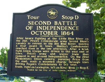
Second Battle of Independence
October 1864
— Battle of Westport —
After heavy fighting at the Little Blue River on the 21st, Price's Confederate army forced Blunt's cavalry to retreat to the Big Blue River, leaving a rear guard in town. Shelby's Confederates reached town in the late afternoon. After a brisk fight Union troops were driven to the west end of town. Price's army and wagon train then camped in and around Independence. On the 22nd Pleasanton's Union cavalry, pursuing Price from the east, made a mounted charge through town driving Fagan's Confederates to the west.
South, right on Lexington, left on River Blvd. to Stop E.
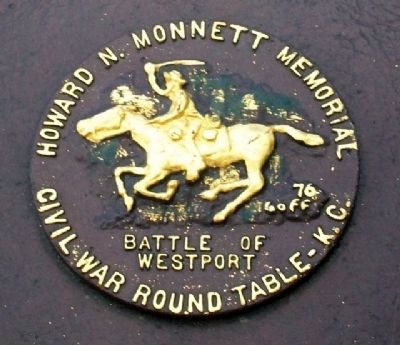
Erected by City of Independence and Howard N. Monett Memorial Civil War Round Table. (Marker Number D.)
Topics. This historical marker is listed in this topic list: War, US Civil. A significant historical month for this entry is October 1864.
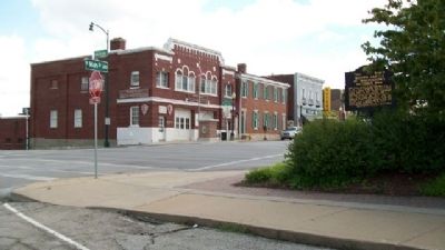
Location. 39° 5.633′ N, 94° 24.948′ W. Marker is in Independence, Missouri, in Jackson County. Marker is at the intersection of Main Street and Truman Road, on the left when traveling north on Main Street. Marker is NW across the intersection from the Harry S. Truman National Historic Site Visitor Center. Touch for map. Marker is in this post office area: Independence MO 64050, United States of America. Touch for directions.
Other nearby markers. At least 8 other markers are within walking distance of this marker. Fire Station No. 1 (within shouting distance of this marker); Jackson County Marshal's House and Jail Museum (within shouting distance of this marker); Twyman Hotel - Kenton House (about 300 feet away, measured in a direct line); Truman's First Job (about 400 feet away); Clinton's Drugstore (about 400 feet away); Second Baptist Church (about 400 feet away); Jackson County Courthouse (about 400 feet away); Historic Courthouse (about 500 feet away). Touch for a list and map of all markers in Independence.
Also see . . . Second Battle of Independence. (Submitted on August 24, 2010, by William Fischer, Jr. of Scranton, Pennsylvania.)
Credits. This page was last revised on December 16, 2020. It was originally submitted on August 24, 2010, by William Fischer, Jr. of Scranton, Pennsylvania. This page has been viewed 1,485 times since then and 33 times this year. Last updated on January 13, 2020, by Michael E Sanchez, Jr. of Kansas City, Missouri. Photos: 1. submitted on January 13, 2020, by Michael E Sanchez, Jr. of Kansas City, Missouri. 2, 3, 4. submitted on August 24, 2010, by William Fischer, Jr. of Scranton, Pennsylvania. • Devry Becker Jones was the editor who published this page.


