Mayfield in Fulton County, New York — The American Northeast (Mid-Atlantic)
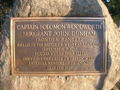
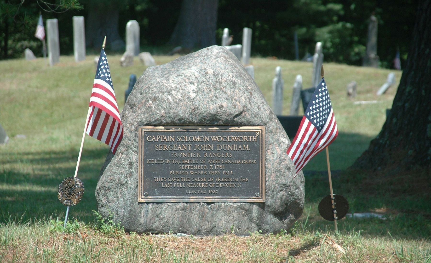
Captain Solomon Woodworth
Sergeant John Dunham
Inscription.
Sergeant John Dunham
Frontier Rangers
Killed in the Battle of West Canada Creek
September 7, 1781
Buried Where They Fell.
They Gave the Cause of Freedom The
Last Full Measure of Devotion
Erected 1937.
Topics. This historical marker is listed in this topic list: War, US Revolutionary. A significant historical month for this entry is September 1649.
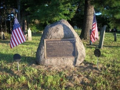
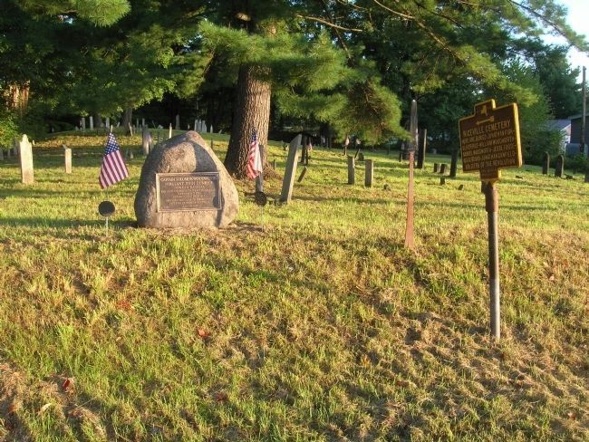
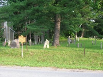
Location. 43° 5.609′ N, 74° 16.909′ W. Marker is in Mayfield, New York, in Fulton County. Marker is on Riceville Road south of Phelps Street, on the right when traveling south. Marker is mounted on a boulder beside the Riceville Cemetery at the side of the road. Touch for map. Marker is at or near this postal address: 220 Riceville Road, Mayfield NY 12117, United States of America. Touch for directions.
Other nearby markers. At least 8 other markers are within 2 miles of this marker, measured as the crow flies. Riceville Cemetery (about 300 feet away, measured in a direct line); Woodworth Farm (approx. 0.4 miles away); Baptist Church (approx. half a mile away); Rice Homestead (approx. half a mile away); Anthonyville (approx. 0.6 miles away); Burying Ground (approx. 0.8 miles away); Amasa Stephen (approx. 0.9 miles away); Dutch Reformed Church of Mayfield (approx. 1.1 miles away). Touch for a list and map of all markers in Mayfield.
Regarding Captain Solomon Woodworth. In April of 1780 The Sacandaga blockhouse (built 1779) which was located two miles southeast of Mayfield was attacked by seven Indians. Woodworth singlehandedly defended the garrison. Though slightly wounded Woodworth fought them off and put out fires they kindled. The Indians fled to the forest and were followed by Woodworth and six militiamen on snowshoes a day or two later. The Americans caught up with the enemy and killed five of the party, returning with their packs and guns.
Related marker. Click here for another marker that is related to this marker. It marks the Battle of West Canada Creek, where they fell in battle.
Also see . . . The Bloodied Mohawk - The Death Of Solomon Woodworth. (Submitted on August 24, 2010.)
Additional commentary.
1. Location of the Battle of West Canada Creek
Captain Solomon Woodworth did not die at this location. Another marker about Captain Woodworth’s demise in battle is in a ravine near West Canada Creek. It was erected on private farmland in Herkimer County and is being respectfully and quietly maintained by the owners of that property.
— Submitted January 2, 2011.
Credits. This page was last revised on July 11, 2020. It was originally submitted on August 24, 2010, by Howard C. Ohlhous of Duanesburg, New York. This page has been viewed 1,752 times since then and 75 times this year. Photos: 1, 2, 3, 4. submitted on August 24, 2010, by Howard C. Ohlhous of Duanesburg, New York. 5. submitted on July 7, 2020, by Howard C. Ohlhous of Duanesburg, New York. • Syd Whittle was the editor who published this page.
