Near Westpoint in Tippecanoe County, Indiana — The American Midwest (Great Lakes)
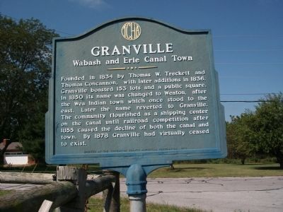
Granville
Wabash and Erie Canal Town
Inscription.
Founded in 1834 by Thomas W. Treckett and Thomas Concannon, with later additions in 1836. Granville boasted 153 lots and a public square. In 1850 its name was changed to Weaton, after the Wea Indian town which once stood to the east. Later the name reverted to Granville. The community flourished as a shipping center on the canal until railroad competition after 1855 caused the decline of both the canal and town. By 1878 Granville had virtually ceased to exist.
Erected 1975 by Tippecanoe County Historical Association.
Topics and series. This historical marker is listed in these topic lists: Industry & Commerce • Waterways & Vessels. In addition, it is included in the Wabash & Erie Canal series list. A significant historical year for this entry is 1834.
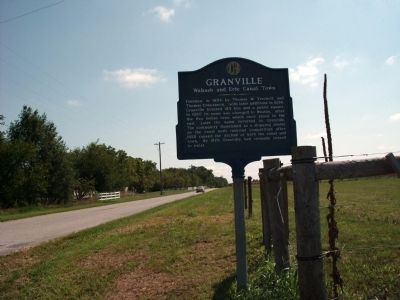
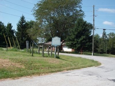
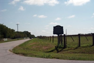
Location. 40° 24.36′ N, 87° 2.158′ W. Marker is near Westpoint, Indiana, in Tippecanoe County. Marker is at the intersection of County Road S 700 W and County Road W 75 S, on the right when traveling north on County Road S 700 W. Touch for map. Marker is in this post office area: Lafayette IN 47909, United States of America. Touch for directions.
Other nearby markers. At least 8 other markers are within 7 miles of this marker, measured as the crow flies. The Wea Plains (approx. 0.6 miles away); Trail of Death (approx. 3.7 miles away); Post Ouiatenon Site (approx. 3.8 miles away); Liberty Tree (approx. 3.8 miles away); Site of the Birth Place of Rev. Anthony Foucher (approx. 3.8 miles away); Fort Ouiatenon (approx. 3.8 miles away); Universal Soil Loss Equation (approx. 6.2 miles away); Farmers Institute Academy (approx. 6.3 miles away). Touch for a list and map of all markers in Westpoint.
Credits. This page was last revised on June 16, 2016. It was originally submitted on August 24, 2010, by Al Wolf of Veedersburg, Indiana. This page has been viewed 806 times since then and 38 times this year. Photos: 1, 2, 3, 4. submitted on August 24, 2010, by Al Wolf of Veedersburg, Indiana. • Syd Whittle was the editor who published this page.


