Near Bolivar Peninsula in Galveston County, Texas — The American South (West South Central)
Point Bolivar
Inscription.
Headquarters for Long's Expedition which attempted to free Texas from Spanish rule in 1819. Named in honor of Simon Bolivar (1783-1830), leader in the Spanish-American War for independence. Here Mrs. Long and a small group remained until news of her husband's death came in 1822. A light house was erected here by the Republic of Texas. (Marker Number 7544.)
Topics. This historical marker is listed in these topic lists: Settlements & Settlers • War, Texas Independence • Waterways & Vessels. A significant historical year for this entry is 1819.
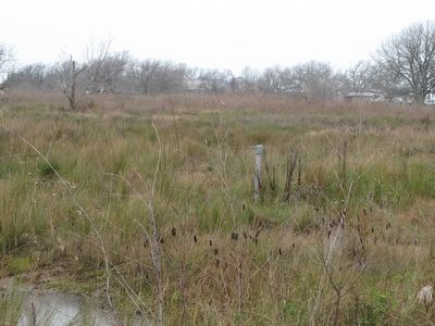
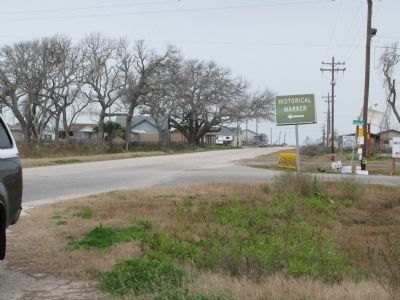
Location. Marker has been reported missing. It was located near 29° 22.499′ N, 94° 46.293′ W. Marker was near Bolivar Peninsula, Texas, in Galveston County. Marker could be reached from 7th Street just south of Madison Avenue, on the left. Marker was on left (going NW) on 7th street, near intersection of 7th and Madison. Sign pointing to marker still in place. Touch for map. Marker was at or near this postal address: 703 Madison Avenue, Port Bolivar TX 77650, United States of America. Touch for directions.
Other nearby markers. At least 8 other markers are within 3 miles of this location, measured as the crow flies. Jane Herbert Wilkinson Long (approx. 0.9 miles away); Bolivar Point (approx. 0.9 miles away); Fort Travis (approx. 1.1 miles away); SS Selma (approx. 2.7 miles away); Galveston: Gateway to Texas (approx. 2.7 miles away); Galveston Quarantine Stations (approx. 2.7 miles away); U.S.S. Seawolf Memorial (approx. 2.9 miles away); Fort San Jacinto (approx. 3 miles away).
More about this marker. This marker was destroyed by Hurricane Ike, September 2008
Also see . . . Long Expedition - Wikipedia. (Submitted on September 1, 2010, by Bill Pfingsten of Bel Air, Maryland.)
Additional commentary.
1. Inscription and marker title.
This is an interesting dilemma. Less than a mile away is a 1936 Texas Centennial granite marker with the same title and exact same inscription as this one. Often these aluminum markers serve as available replacements for the granite markers that are inaccessible such as the granite one is.
Is it possible that this was different marker located here? Two other markers, previously at Bolivar Point and destroyed by Hurricane Ike have been remade and installed on Anderson Avenue near SR 87 and 10th Street not very far from where this marker was.
— Submitted May 9, 2016, by Mark Hilton of Montgomery, Alabama.
Credits. This page was last revised on June 16, 2016. It was originally submitted on August 25, 2010, by Richard Denney of Austin, Texas. This page has been viewed 1,252 times since then and 20 times this year. Photos: 1, 2. submitted on August 25, 2010, by Richard Denney of Austin, Texas. • Bill Pfingsten was the editor who published this page.

