St. Ignace in Mackinac County, Michigan — The American Midwest (Great Lakes)
St. Ignace
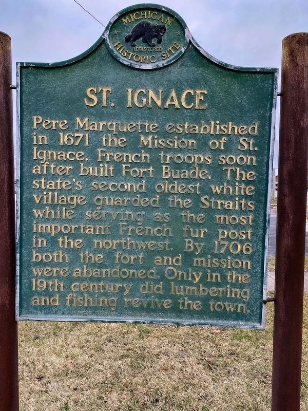
Pere Marquette established in 1671 the Mission of St. Ignace. French troops soon after built Fort Buade. The state’s second oldest white village guarded the Straits while serving as the most important French fur post in the northwest. By 1706 both the fort and mission were abandoned. Only in the 19th century did lumbering and fishing revive the town.
Erected 1957 by Michigan Historical Commission. (Marker Number 41.)
Topics and series. This historical marker is listed in these topic lists: Churches & Religion • Colonial Era • Forts and Castles. In addition, it is included in the Michigan Historical Commission series list. A significant historical year for this entry is 1671.
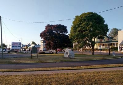
Location. 45° 52.085′ N, 84° 43.427′ W. Marker is in St. Ignace, Michigan, in Mackinac County. Marker is on Business Interstate 75, on the right when traveling north. Between Central Hill and East Truckey Streets. Touch for map. Marker is in this post office area: Saint Ignace MI 49781, United States of America. Touch for directions.
Other nearby markers. At least 8 other markers are within walking distance of this marker. Michigan State Ferry (here, next to this marker); Diving into History (within shouting distance of this marker); State Ferry Service (within shouting distance of this marker); Mooring Facilities (about 300 feet away, measured in a direct line); People and the Great Lakes (about 400 feet away); William H. Barnum (about 700 feet away); Civilian Conservation Corps (about 800 feet away); Mackinaw Boat (approx. 0.2 miles away). Touch for a list and map of all markers in St. Ignace.
Also see . . .
1. St. Ignace. (Submitted on January 16, 2023, by J.T. Lambrou of New Boston, Michigan.)
2. St. Ignace, Michigan. Wikipedia article (Submitted on February 16, 2023, by Joel Seewald of Madison Heights, Michigan.)
Credits. This page was last revised on February 20, 2023. It was originally submitted on August 27, 2010. This page has been viewed 987 times since then and 33 times this year. Photos: 1. submitted on January 16, 2023, by J.T. Lambrou of New Boston, Michigan. 2. submitted on August 27, 2010, by Mh of Las Vegas, Nevada. 3. submitted on September 18, 2019, by Joel Seewald of Madison Heights, Michigan. • Bill Pfingsten was the editor who published this page.


