Greenfield in Milwaukee County, Wisconsin — The American Midwest (Great Lakes)
Cold Spring Road
Side A
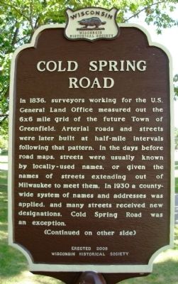
In 1836, surveyors working for the U.S. General Land Office measured out the 6x6 mile grid of the future Town of Greenfield. Arterial roads and streets were later built at half-mile intervals following that pattern. In the days before road maps, streets were usually known by locally-used names, or given the names of streets extending out of Milwaukee to meet them. In 1930 a county-wide system of names and addresses was applied, and many streets received new designations. Cold Spring Road was an exception.
(Continued on other side)
Side B
(Continued from other side)
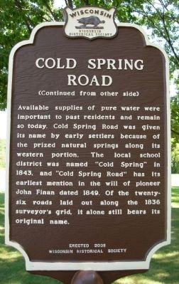
Available supplies of pure water were important to past residents and remain today. Cold Spring Road was given its name by early settlers because of the prized natural springs along its western portion. The local school district was named “Cold Spring” in 1843, and “Cold Spring Road” has its earliest mention in the will of pioneer John Finan dated 1849. Of the twenty-six roads laid out along the 1836 surveyor’s grid, it alone still bears its original name.
Erected 2008 by State Historical Society of Wisconsin. (Marker Number 524.)
Topics and series. This historical marker is listed in these topic lists: Roads & Vehicles • Settlements & Settlers. In addition, it is included in the Wisconsin Historical Society series list. A significant historical year for this entry is 1836.
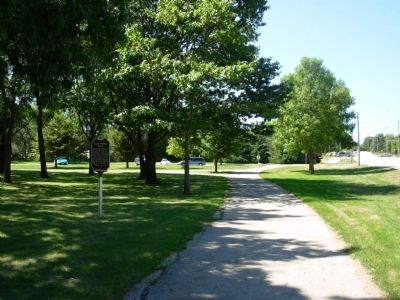
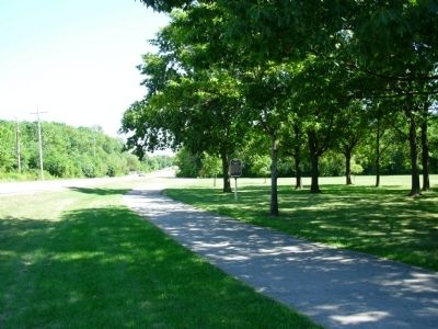
Location. 42° 57.974′ N, 88° 2.764′ W. Marker is in Greenfield, Wisconsin, in Milwaukee County. Marker is on Cold Spring Road, 0.1 miles east of South 108th Street (Wisconsin Highway 100), on the right when traveling east. Marker is located in Alan Kulwicki Park. Touch for map. Marker is in this post office area: Milwaukee WI 53228, United States of America. Touch for directions.
Other nearby markers. At least 8 other markers are within 2 miles of this marker, measured as the crow flies. 1992 NASCAR Champion (about 400 feet away, measured in a direct line); Historic Root River / Root River Parkway (approx. 0.6 miles away); Janesville Plank Road (approx. 1.4 miles away); St. Mary’s Church and Cemetery (approx. 1.4 miles away); Wisconsin's Lime Industry (approx. 1.9 miles away); Boyhood Home of Jeremiah Curtin (approx. 1.9 miles away); Hales Corners – A Farm Village (approx. 1.9 miles away); Early 1900s Business District (approx. 1.9 miles away). Touch for a list and map of all markers in Greenfield.
Credits. This page was last revised on June 16, 2016. It was originally submitted on August 30, 2010, by Paul Fehrenbach of Germantown, Wisconsin. This page has been viewed 1,172 times since then and 93 times this year. Photos: 1, 2, 3, 4. submitted on August 30, 2010, by Paul Fehrenbach of Germantown, Wisconsin. • Bill Pfingsten was the editor who published this page.


