Downtown in Greensboro in Guilford County, North Carolina — The American South (South Atlantic)
Original Methodist Church / Former Methodist Cemetery
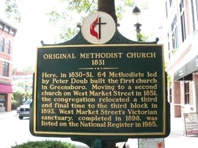
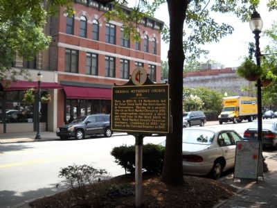
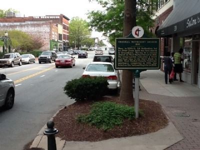
Original Methodist Church
1831
Here in 1830-31, 64 Methodists led by Peter Doub built the first church in Greensboro. Moving to a second church on West Market Street in 1851, the congregation relocated a third and final time to the third block in 1893. West Market Street’s Victorian sanctuary, completed in 1898, was listed on the National Register in 1985.
(side 2)
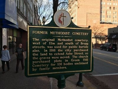
Former Methodist Cemetery
The original Methodist cemetery, west of Elm and south of Bragg streets, was used for public burials also. In 1916 the city purchased the land to extend Ashe Street, so the graves were moved. The church purchased plots in Green Hill Cemetery for 106 bodies unclaimed by family members.
Topics. This historical marker is listed in these topic lists: Cemeteries & Burial Sites • Churches & Religion. A significant historical year for this entry is 1851.
Location. 36° 4.16′ N, 79° 47.438′ W. Marker is in Greensboro, North Carolina, in Guilford County. It is in Downtown. Marker is on South Elm Street north of West McGee Street, on the left when traveling north. Touch for map. Marker is at or near this postal address: 320 S Elm St, Greensboro NC 27401, United States of America. Touch for directions.
Other nearby markers. At least 8 other markers are within walking distance of this marker. Lunsford Richardson (about 400 feet away, measured in a direct line); Jefferson Davis (about 400 feet away); General Nathanael Greene (about 500 feet away); Cigar Industry (about 500 feet away); North Carolina Railroad (about 500 feet away); Confederate Cabinet (about 700 feet away); Albion Tourgee (about 800 feet away); The Underground Railroad (approx. 0.2 miles away). Touch for a list and map of all markers in Greensboro.
Credits. This page was last revised on February 16, 2023. It was originally submitted on August 30, 2010, by Bill Coughlin of Woodland Park, New Jersey. This page has been viewed 739 times since then and 21 times this year. Photos: 1. submitted on August 30, 2010, by Bill Coughlin of Woodland Park, New Jersey. 2. submitted on December 26, 2015, by Jamie Cox of Melbourne, Florida. 3. submitted on August 30, 2010, by Bill Coughlin of Woodland Park, New Jersey. 4. submitted on April 2, 2012, by Michael C. Wilcox of Winston-Salem, North Carolina.


