Central City in Salt Lake City in Salt Lake County, Utah — The American Mountains (Southwest)
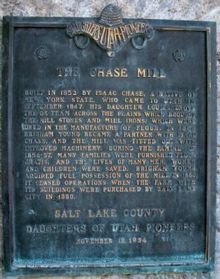
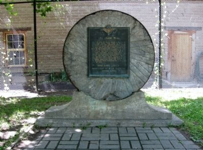
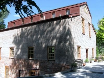
Chase Mill
Erected 1934 by Salt Lake County, Daughters of Utah Pioneers.
Topics and series. This historical marker is listed in these topic lists: Industry & Commerce • Settlements & Settlers. In addition, it is included in the Daughters of Utah Pioneers series list. A significant historical month for this entry is September 1847.
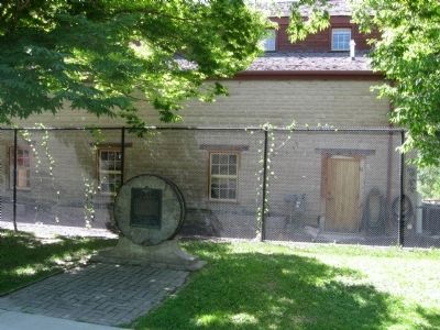
Location. 40° 44.6′ N, 111° 52.433′ W. Marker is in Salt Lake City, Utah, in Salt Lake County. It is in Central City. This marker is on a sidewalk within Liberty Park. The sidewalk runs north and south and is parallel to 600 East at about 1150 South, east of Tracy Aviary. You cannot see the marker by car, you must walk to see it. Touch for map. Marker is in this post office area: Salt Lake City UT 84102, United States of America. Touch for directions.
Other nearby markers. At least 8 other markers are within 2 miles of this marker, measured as the crow flies. Pioneer Home (approx. 0.2 miles away); Liberty Park (approx. 0.4 miles away); Trinity African Methodist Episcopal Church (approx. one mile away); L.D.S. Tenth Ward Square (approx. 1.2 miles away); Kearns - St. Ann’s Orphanage (approx. 1.3 miles away); Congregation Montefiore (approx. 1.3 miles away); The Cedar Tree Shrine (approx. 1.3 miles away); Salt Lake City and County Building (approx. 1.3 miles away). Touch for a list and map of all markers in Salt Lake City.
Credits. This page was last revised on February 16, 2023. It was originally submitted on August 31, 2010, by Jack Duffy of West Jordan, Utah. This page has been viewed 1,609 times since then and 62 times this year. Photos: 1, 2, 3, 4. submitted on August 31, 2010, by Jack Duffy of West Jordan, Utah. • Syd Whittle was the editor who published this page.


