Rochester in Fulton County, Indiana — The American Midwest (Great Lakes)
Potawatomi "Trail of Death"
Indiana to Kansas, September 4 - November 4, 1838
Inscription.
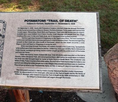
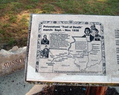
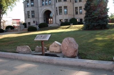
On September 5, 1838, nearly 850 Potawatomi Indians marched single file through Rochester on the forced removal from Indiana to Western Territory (Kansas). Three chiefs were transported in a jail wagon: Menominee, Black Wolf, and Pepinewa. There were 286 horses and 26 wagons. Included were many Indians from Fulton County: Chief Wamego and people from his village, Chieftess Mas-saw, I-o-wa, and Pawk-shuk, son of deceased Chief Aubbeenaubbee.
The first night they camped at Chippeway on the Tippecanoe River. The next morning 51 Indians were left there due to sickness and lack of a way to transport them. The second night they camped at Mud Creek six miles south of Rochester, where the first death occurred, a child. Wagons were sent back to Chippeway to bring the sick.
While marching through Rochester, the Indians formed a line a mile long. Sympathetic white settlers gave them hoe-cakes for the trip. A little boy, nine-year-old Billy Ward, followed his Indian friends, wanting to go along, but his mother caught up with him a mile south of Rochester and took him home.
Water was scarce, roads choked with dust. Over 40 deaths were recorded on the trek to Kansas. Father Benjamin Petit, who accompanied them, died before he could return to Indiana. His body was later brought back for burial at Notre Dame in South Bend. The conductor was William Polke, Fulton County’s first white settler. He and Father Petit tried to help the Indians, but typhoid was killing the white people too in the villages they passed, and there was no medicine. They arrived at what is now Osawatomie, Kans. On Nov. 4, taking 61 days to travel 660 miles.
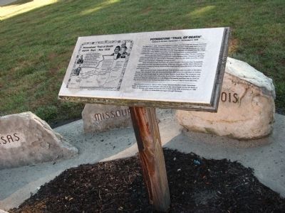
[ This monument erected in 1995 by Fulton County Historical Society’s Indian Awareness Center; by descendants of Che-shaw-gen, who was on the Trail of Death; and by the family of William O. Wamego, who helped re-enact the Trail of Death on its 150th anniversary in 1988 by riding in a horse-drawn jail wagon through Rochester. ]
Erected 1995.
Topics and series. This historical marker is listed in these topic lists: Native Americans • Settlements & Settlers. In addition, it is included in the Potawatomi Trail of Death series list. A significant historical month for this entry is September 1837.
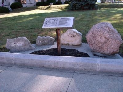
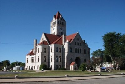
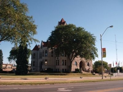
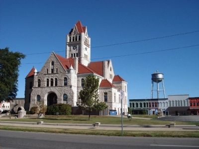
Location. 41° 3.918′ N, 86° 12.945′ W. Marker is in Rochester, Indiana, in Fulton County. Marker is on Main Street north of East 9th Street, on the right when traveling north. Located on the West lawn (at the side-walk) of the Fulton County Courthouse in Rochester, Indiana. Touch for map. Marker is in this post office area: Rochester IN 46975, United States of America. Touch for directions.
Other nearby markers. At least 8 other markers are within walking distance of this marker. History of Rochester College (a few steps from this marker);
Ga bgojwébnegéjuk Mural (within shouting distance of this marker); Centennial Park (within shouting distance of this marker); Revolutionary War Memorial (within shouting distance of this marker); Fulton County Courthouses (within shouting distance of this marker); Honor Roll - Fulton County Indiana (within shouting distance of this marker); W. W. I War Memorial (within shouting distance of this marker); The Underground Railroad (within shouting distance of this marker). Touch for a list and map of all markers in Rochester.
Also see . . .
1. "Rochester Court House" ::. (Courtesy of Official Web-Site "Potawatomi - Trail of Death Association" Shirley Willard / Rochester, Indiana.) This article has photos of the marker and other details. (Submitted on September 9, 2010, by Al Wolf of Veedersburg, Indiana.)
2. History and More Items:. This Official Web-site of the "Potawatomi Trail of Death Association" (Shirley Willard / Rochester, Indiana) is the center of activity and information - with many excellent links. (Submitted on September 9, 2010, by Al Wolf of Veedersburg, Indiana.)
Credits. This page was last revised on January 13, 2019. It was originally submitted on September 9, 2010, by Al Wolf of Veedersburg, Indiana. This page has been viewed 1,489 times since then and 25 times this year. Photos: 1, 2, 3, 4, 5, 6, 7, 8. submitted on September 9, 2010, by Al Wolf of Veedersburg, Indiana. • Bill Pfingsten was the editor who published this page.
