Port Gibson in Claiborne County, Mississippi — The American South (East South Central)
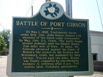
Battle of Port Gibson
On May 1, 1863, Confederate forces under Brig. Gen. John Bowen clashed with elements of two Union corps commanded by Maj. Gen. U.S. Grant. The battle began around midnight near the Shaifer House four miles west of town. At dawn, the Federals advanced against the flanks of Bowen’s line posted on the Rodney and Bruinsburg roads, but separated by deep ravines. Forced back two miles, Bowen was finally compelled by overwhelming numbers to withdraw after 5 p.m. Two months later, Vicksburg surrendered.
Erected 2004 by Mississippi Department of Archives and History.
Topics and series. This historical marker is listed in this topic list: War, US Civil. In addition, it is included in the Former U.S. Presidents: #18 Ulysses S. Grant, and the Mississippi State Historical Marker Program series lists. A significant historical month for this entry is May 1875.
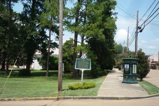
Location. 31° 57.569′ N, 90° 59.103′ W. Marker is in Port Gibson, Mississippi, in Claiborne County. Marker is at the intersection of Main/Market Street and Carroll Street/Rodney Road, on the right when traveling south on Main/Market Street. Marker is at the southeast corner of the park, two blocks west of Church Street - US Hwy 61. Touch for map. Marker is in this post office area: Port Gibson MS 39150, United States of America. Touch for directions.
Other nearby markers. At least 8 other markers are within walking distance of this marker. Commercial Building (within shouting distance of this marker); Port Gibson Bank (within shouting distance of this marker); The Bernheimer Complex (about 400 feet away, measured in a direct line); a different marker also named Battle of Port Gibson (about 500 feet away); The Federals Occupy Port Gibson (about 500 feet away); Commercial Buildings (about 500 feet away); O'Hara Cottage (about 600 feet away); Lil Green (about 600 feet away). Touch for a list and map of all markers in Port Gibson.
Also see . . . Battle of Port Gibson. (Submitted on September 10, 2010, by Richard E. Miller of Oxon Hill, Maryland.)
Credits. This page was last revised on September 29, 2020. It was originally submitted on September 10, 2010, by Richard E. Miller of Oxon Hill, Maryland. This page has been viewed 1,735 times since then and 27 times this year. Photos: 1, 2. submitted on September 10, 2010, by Richard E. Miller of Oxon Hill, Maryland. • Craig Swain was the editor who published this page.

