Near Garfield in Benton County, Arkansas — The American South (West South Central)
Disastrous Retreat
March 8, 1862 - Afternoon
— Pea Ridge National Military Park —
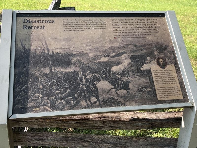
It took two weeks for the stunned survivors of the Confederate Army of the West to make their way from here back to rendezvous on the Arkansas River. In late March 1862 General Van Dorn was ordered to take his army east to Mississippi. This left northern Arkansas in the hands of the Union.
"[Our] regiment arrived...in straggling squads, tired, hatless, barefooted, hungry, dirty, and ragged. They had been in rain-storms, climbed steep mountains along narrow and rugged foot-paths, waded deep and cold mountain streams, starved, slept without tents or blankets on the wet and frosty ground...The retreat was more disastrous than a dozen battles."
William Tunnard, private, 3rd Louisiana Infantry Regiment
Brigadier General Sterling Price, a 52-year-old planter and lawyer born in Virginia, commanded Missouri state troops at Wilson's Creek and Pea Ridge. The popular former congressman and governor of Missouri survived four years of civil war, and died in St. Louis in 1867.
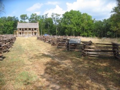
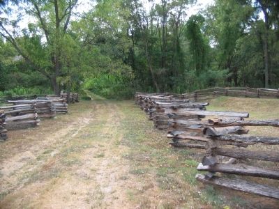
Near here Price tried in vain to rally his battered and exhausted division. Many regiments then retreated along this road east toward Huntsville. Other Confederates withdrew to the north and west.
Erected by National Park Service, U.S. Department of the Interior.
Topics. This historical marker is listed in this topic list: War, US Civil. A significant historical month for this entry is March 1862.
Location. 36° 27.196′ N, 94° 0.915′ W. Marker is near Garfield, Arkansas, in Benton County. Marker can be reached from Military Park Road (County Road 65), on the left when traveling south. Located at stop eight, Elkhorn Tavern, on the driving tour of Pea Ridge National Military Park. Touch for map. Marker is in this post office area: Garfield AR 72732, United States of America. Touch for directions.
Other nearby markers. At least 8 other markers are within walking distance of this marker. Lifeline for Two Armies (within shouting distance of this marker); Vulnerable in Victory (within shouting distance of this marker); Elkhorn Tavern Taken (within shouting distance of this marker); The Butterfield Overland Mail Route (within shouting distance of this marker); Pea Ridge and the Trail of Tears (within shouting distance of this marker); Remembrance and Reunion (about 400 feet away, measured in a direct line); Pea Ridge Confederate Monument (about 500 feet away); A Reunited Soldiery Monument (about 500 feet away). Touch for a list and map of all markers in Garfield.
Also see . . .
1. Pea Ridge National Military Park. National Park Service website entry (Submitted on September 12, 2010, by Craig Swain of Leesburg, Virginia.)
2. Pea Ridge (Elkhorn Tavern). American Battlefield Trust website entry (Submitted on May 8, 2021, by Larry Gertner of New York, New York.)
Internet Archive
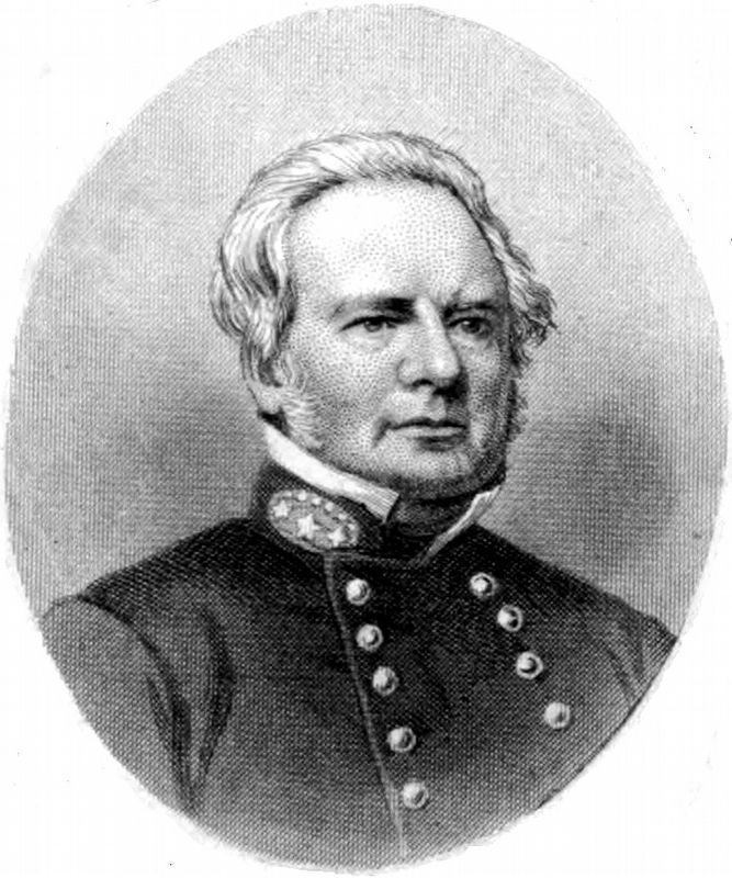
5. Gen. Sterling Price
Brigadier General Sterling Price, a 52-year-old planter and lawyer born in Virginia, commanded Missouri state troops at Wilson's Creek and Pea Ridge. The popular former congressman and governor of Missouri survived four years of civil war, and died in St. Louis in 1867.
Near here Price tried in vain to rally his battered and exhausted division. Many regiments then retreated along this road east toward Huntsville. Other Confederates withdrew to the north and west.
Image from The Lost Cause, by Edward Alfred Pollard, 1867.
Near here Price tried in vain to rally his battered and exhausted division. Many regiments then retreated along this road east toward Huntsville. Other Confederates withdrew to the north and west.
Image from The Lost Cause, by Edward Alfred Pollard, 1867.
Credits. This page was last revised on June 19, 2023. It was originally submitted on September 12, 2010, by Craig Swain of Leesburg, Virginia. This page has been viewed 1,130 times since then and 20 times this year. Photos: 1. submitted on June 4, 2023, by Duane and Tracy Marsteller of Murfreesboro, Tennessee. 2, 3, 4. submitted on September 12, 2010, by Craig Swain of Leesburg, Virginia. 5. submitted on October 2, 2020, by Allen C. Browne of Silver Spring, Maryland.
