East Shore in New Haven in New Haven County, Connecticut — The American Northeast (New England)
East Shore Park
New Haven, Connecticut
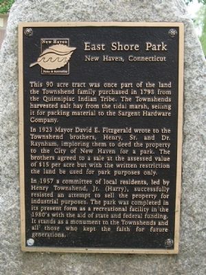
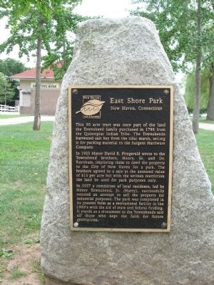
In 1923 Mayor David E. Fitzgerald wrote to the Townsend brothers, hy, Sr. and Dr. Raynham, imploring them to deed the property to the City of New Haven for a park. The brothers agreed to a sale at the assessed value af $15 par acre but with the written restriction the land be used for park purposes only.
In 1957 a committee of local residents, led by Henry Townsend, Jr. (Harry), successfully resisted an attempt to sell the property for industrial purposes. The park was completed in its present form as a recreational facility in the 1980's with the aid of state and federal funding. It stands as a monument to the Townsends and all those who kept the faith for future generations.
Topics. This historical marker is listed in this topic list: Charity & Public Work. A significant historical year for this entry is 1798.
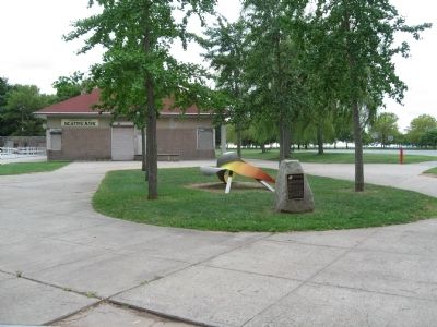
Location. 41° 16.714′ N, 72° 53.994′ W. Marker is in New Haven, Connecticut, in New Haven County. It is in East Shore. Marker is at the intersection of Woodward Avenue and Tuttle Street, on the right when traveling south on Woodward Avenue. Located in East Shore Park, next to the Andrew Salpertino Skating Rink. Touch for map. Marker is in this post office area: East Haven CT 06512, United States of America. Touch for directions.
Other nearby markers. At least 8 other markers are within walking distance of this marker. Fort Wooster Park (approx. 0.4 miles away); A Quinnipiac Indian (approx. 0.4 miles away); Beacon Hill (approx. half a mile away); The Oyster Industry in New Haven (approx. 0.6 miles away); In Honor of Captain Nathan Hale (approx. 0.6 miles away); Society of The Cincinnati Memorial (approx. 0.6 miles away); Fort Nathan Hale (approx. 0.6 miles away); Black Rock Fort (approx. 0.6 miles away). Touch for a list and map of all markers in New Haven.
Credits. This page was last revised on February 10, 2023. It was originally submitted on September 14, 2010, by Michael Herrick of Southbury, Connecticut. This page has been viewed 1,000 times since then and 25 times this year. Photos: 1, 2, 3. submitted on September 14, 2010, by Michael Herrick of Southbury, Connecticut.


