Barbourville in Knox County, Kentucky — The American South (East South Central)
First House in Kentucky
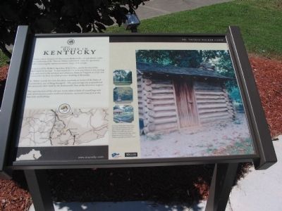
Dr. Thomas Walker Cabin
A replica of Dr. Walker's log cabin, 8 by 12 feet, marks the site of the dwelling built in 1750. It now stands in a 12-acre state historic site serving as a memorial to the surveyor and physician (born in Virginia in 1715) who constructed the first recorded pioneer dwelling in Kentucky.
Dr. Walker named the river the cabin overlooks in honor of the Duke of Cumberland, son of King George II. The park acreage was acquired and the memorial cabin built by the Barbourville Post of the American Legion.
The reproduction of the old one-room cabin is built of round logs with wide chinked joints and a small chimney, curiously framed in at the base with notched logs.
Topics. This historical marker is listed in these topic lists: Exploration • Settlements & Settlers. A significant historical year for this entry is 1750.
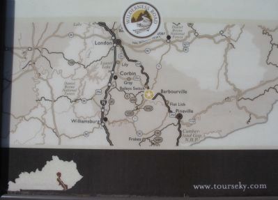
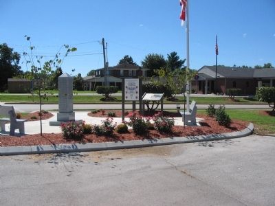
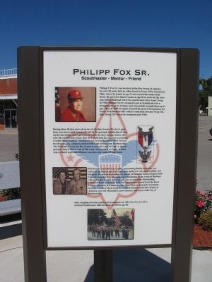
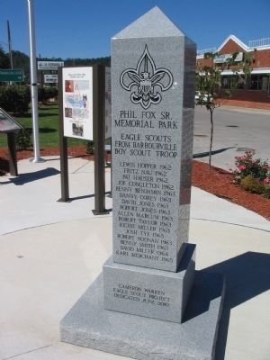
Location. 36° 52.022′ N, 83° 53.025′ W. Marker is in Barbourville, Kentucky, in Knox County. Marker is at the intersection of Daniel Boone Drive (State Highway 11) and North Broadway, on the right when traveling west on Daniel Boone Drive. THe marker is located in the Philip Fox, Sr. Memorial Park. Touch for map. Marker is in this post office area: Barbourville KY 40906, United States of America. Touch for directions.
Other nearby markers. At least 8 other markers are within walking distance of this marker. The Battle of Barbourville (about 500 feet away, measured in a direct line); a different marker also named The Battle of Barbourville (about 500 feet away); a different marker also named The Battle of Barbourville (about 600 feet away); First Cabin in Kentucky (approx. 0.2 miles away); Civil War Actions (approx. 0.2 miles away); County Named, 1799 (approx. 0.2 miles away); Knox County Veterans Memorial (approx. ¼ mile away); Flem D. Sampson (1875-1967) (approx. ¼ mile away). Touch for a list and map of all markers in Barbourville.
Credits. This page was last revised on September 28, 2023. It was originally submitted on September 16, 2010, by Craig Swain of Leesburg, Virginia. This page has been viewed 1,650 times since then and 74 times this year. Photos: 1, 2, 3, 4, 5. submitted on September 16, 2010, by Craig Swain of Leesburg, Virginia.
