Near Spotsylvania Courthouse in Spotsylvania County, Virginia — The American South (Mid-Atlantic)
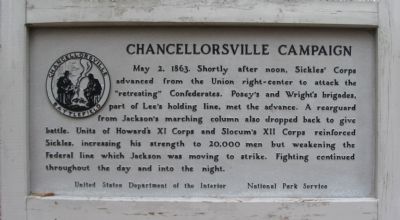
Chancellorsville Campaign
Erected by United States Department of the Interior - National Park Service.
Topics. This historical marker is listed in this topic list: War, US Civil. A significant historical date for this entry is May 2, 1806.
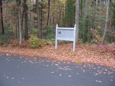
Location. 38° 17.329′ N, 77° 38.713′ W. Marker is near Spotsylvania Courthouse, Virginia, in Spotsylvania County. Marker is at the intersection of McLaws Drive and Sickles Drive, on the right when traveling south on McLaws Drive. Located between tour stops five and six on the driving tour of Chancellorsville Battlefield. Touch for map. Marker is at or near this postal address: 9001 Furnace Rd, Spotsylvania VA 22553, United States of America. Touch for directions.
Other nearby markers. At least 8 other markers are within walking distance of this marker. A Region of Gloom (approx. 0.2 miles away); Catharine Furnace (approx. 0.2 miles away); Jackson's Flank March (approx. 0.2 miles away); About a mile in the distance... (approx. 0.3 miles away); Birthplace of Matthew Fontaine Maury (1806-1873) (approx. 0.4 miles away); Maury Birthplace (approx. 0.4 miles away); Maury House Trail (approx. 0.4 miles away); Matthew Fontaine Maury (approx. 0.4 miles away). Touch for a list and map of all markers in Spotsylvania Courthouse.
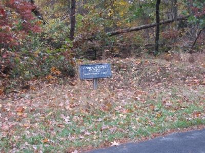
Regarding Chancellorsville Campaign. This is one of several markers for the Battle of Chancellorsville along McLaws Drive, Furnace Road, Sickles Drive, and East Jackson Trail, on the east side of the battlefield. See the McLaws's Line to Catharine Furnace Virtual Tour by Markers in the links section for a listing of related markers on the tour.
Also see . . .
1. Battle of Chancellorsville. National Parks Service site. (Submitted on November 17, 2007, by Craig Swain of Leesburg, Virginia.)
2. General Sickles' Report. In discussing the losses of his command at the battle, Sickles would report, "It is a consolation to know that they and their noble associates among the dead did not fall unrevenged, for in the loss of Jackson and Hill, and the flower of the rebel army on Saturday and Sunday, the enemy learned to respect the prowess of the Third Army Corps." (Submitted on November 17, 2007, by Craig Swain of Leesburg, Virginia.)
3. McLaws's Line to Catharine Furnace Virtual Tour by Markers. Spread across a two mile segment on the east side of the battlefield, this virtual tour by markers covers action from May 1-3, 1863. (Submitted on November 17, 2007, by Craig Swain of Leesburg, Virginia.)
Credits. This page was last revised on July 9, 2021. It was originally submitted on November 17, 2007, by Craig Swain of Leesburg, Virginia. This page has been viewed 1,296 times since then and 11 times this year. Photos: 1, 2, 3, 4. submitted on November 17, 2007, by Craig Swain of Leesburg, Virginia.


