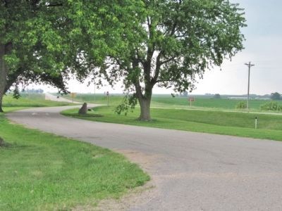
Near Patch Grove in Grant County, Wisconsin — The American Midwest (Great Lakes)
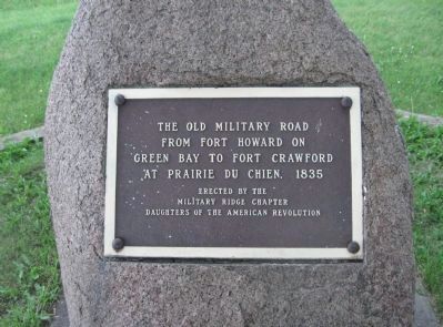
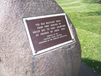
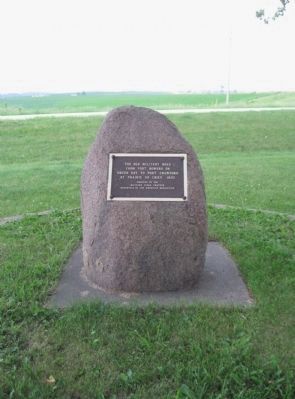
The Old Military Road
Erected by the Military Ridge Chapter Daughters of the American Revolution.
Topics and series. This historical marker is listed in these topic lists: Roads & Vehicles • Settlements & Settlers. In addition, it is included in the Daughters of the American Revolution series list. A significant historical year for this entry is 1835.
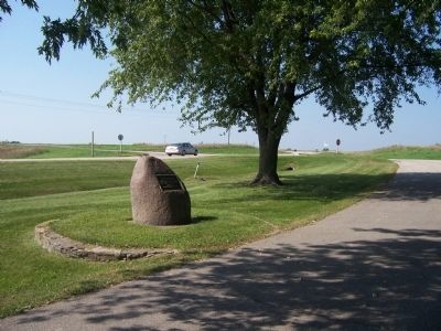
Location. 42° 57.614′ N, 90° 56.527′ W. Marker is near Patch Grove, Wisconsin, in Grant County. Marker is at the intersection of U.S. 18 and Lawless Road, on the right when traveling west on U.S. 18. Touch for map. Marker is in this post office area: Prairie du Chien WI 53821, United States of America. Touch for directions.
Other nearby markers. At least 8 other markers are within 13 miles of this marker, measured as the crow flies. Curtis Memorial Scientific Area (approx. 8.9 miles away); Camp Nelson Dewey (approx. 9.1 miles away); Passenger Pigeon Monument (approx. 9.7 miles away); Pleasant Ridge (approx. 11.1 miles away); Prairie du Chien Veterans Memorial (approx. 11.2 miles away); William Beaumont, M. D. (approx. 11.8 miles away); a different marker also named Pleasant Ridge (approx. 11.9 miles away); Veterans Memorial (approx. 12.2 miles away).
Related markers. Click here for a list of markers that are related to this marker. Additional markers on and about this Wisconsin Military Road
Additional keywords. Zachary Taylor, Fort Winnebago, Portage
Credits. This page was last revised on August 25, 2021. It was originally submitted on September 20, 2009, by Gordon Govier of Fitchburg, Wisconsin. This page has been viewed 1,250 times since then and 40 times this year. Last updated on September 21, 2010, by William J. Toman of Green Lake, Wisconsin. Photos: 1. submitted on June 22, 2011, by Keith L of Wisconsin Rapids, Wisconsin. 2. submitted on September 20, 2009, by Gordon Govier of Fitchburg, Wisconsin. 3. submitted on June 22, 2011, by Keith L of Wisconsin Rapids, Wisconsin. 4. submitted on September 20, 2009, by Gordon Govier of Fitchburg, Wisconsin. 5. submitted on June 22, 2011, by Keith L of Wisconsin Rapids, Wisconsin. • Kevin W. was the editor who published this page.
