Near Oakville in Lawrence County, Alabama — The American South (East South Central)
Town of Oakville
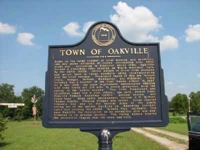
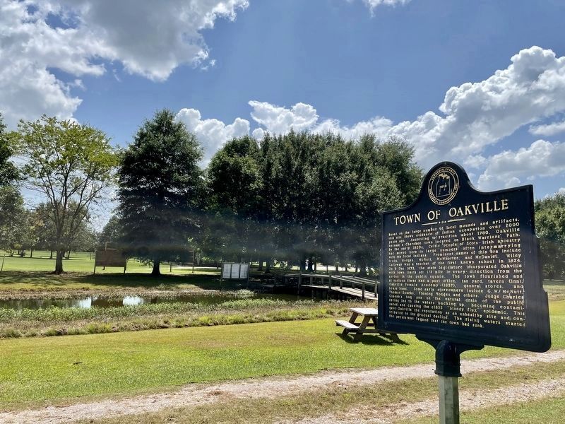
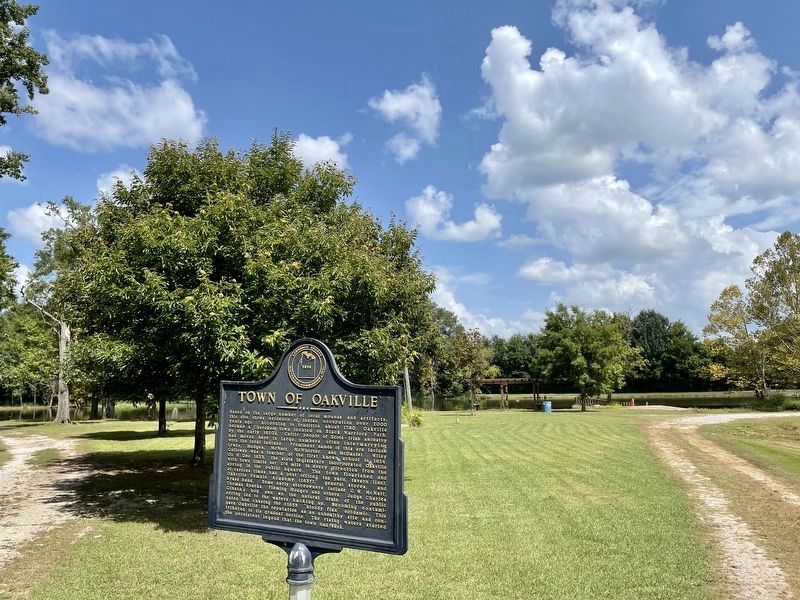
Based on the large number of local mounds and artifacts, this site shows evidence of Indian occupation over 2000 years ago. According to tradition about 1780, Oakville became a Cherokee town located on Black Warriors' Path. By the early 1820's, Celtic people of Scots~Irish ancestry had moved here in large numbers often intermarrying with the local Indians. Prominent names of this era included Irwin, Hodges, McNutt, McWhorter and McDaniel. Wiley Galloway was a teacher of the first known school in 1824. On 9 Dec 1833, the state legislature incorporated Oakville with town limits set 1/4 mile in every direction from the spring in the public square. The town flourished and at various times had a post office, tan yard, tavern, (Inn), Oakville Female Academy (1837), general stores, and brass band. Some early storeowners included G. W. McNutt, Thomas Sparks, Fleming Hodges and others. Judge Charles Gibson's hog pen on the natural drain of the public spring led to the waters backing up, becoming contaminated and causing the c1855 "bloody flux" epidemic. This gave Oakville the reputation as an unhealthy site and contributed to its gradual decline. The rising waters started the persistent legend that the town has sunk.
Erected by Lawrence County Historical Commission Inc.
Topics. This historical marker is listed in these topic lists: Disasters • Native Americans • Settlements & Settlers. A significant historical date for this entry is December 9, 1833.
Location. 34° 26.705′ N, 87° 10.652′ W. Marker is near Oakville, Alabama, in Lawrence County. Marker can be reached from County Road 187 when traveling north. Near Oakville Indian Mounds Education Center. Touch for map. Marker is in this post office area: Danville AL 35619, United States of America. Touch for directions.
Other nearby markers. At least 8 other markers are within walking distance of this marker. Historic Indians (about 400 feet away, measured in a direct line); Copena Burial Mound (about 400 feet away); Cherokee Council House Museum (about 500 feet away); Doublehead (about 500 feet away); Cherokee Indian Removal (approx. 0.2 miles away); Oakville Indian Mound (approx. 0.2 miles away); Creek Indian Removal (approx. 0.2 miles away); Streight's Raid (approx. ¼ mile away). Touch for a list and map of all markers in Oakville.
More about this marker. Pass Oakville Indian Mound Museum on right but stay on main road, come to next road crossing, marker is on right grass road.
Also see . . .
1. Oakville, Alabama. Wikipedia entry (Submitted on March 6, 2010, by Sandra Hughes Tidwell of Killen, Alabama, USA.)
2. Oakville Indian Mounds Education Center. Encyclopedia of Alabama website entry (Submitted on December 17, 2021, by Larry Gertner of New York, New York.)
Credits. This page was last revised on December 17, 2021. It was originally submitted on March 4, 2010, by Sandra Hughes Tidwell of Killen, Alabama, USA. This page has been viewed 2,078 times since then and 143 times this year. Last updated on September 21, 2010, by Sandra Hughes Tidwell of Killen, Alabama, USA. Photos: 1. submitted on March 4, 2010, by Sandra Hughes Tidwell of Killen, Alabama, USA. 2, 3. submitted on August 27, 2021, by Mark Hilton of Montgomery, Alabama. 4. submitted on March 4, 2010, by Sandra Hughes Tidwell of Killen, Alabama, USA. • Craig Swain was the editor who published this page.


