Near Milledgeville in Baldwin County, Georgia — The American South (South Atlantic)
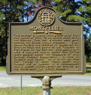
Montpelier
<------<<<<
Erected 1996 by Georgia Department of Natural Resources. (Marker Number 005-7.)
Topics and series. This historical marker is listed in these topic lists: Churches & Religion • Forts and Castles • Wars, US Indian. In addition, it is included in the Georgia Historical Society series list. A significant historical year for this entry is 1794.
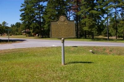
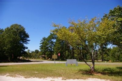
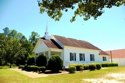
Location. 33° 4.809′ N, 83° 9.842′ W. Marker is near Milledgeville, Georgia, in Baldwin County. Marker is at the intersection of Sparta Highway (Georgia Route 22) and Montpelier Church Road, on the right when traveling east on Sparta Highway. Touch for map. Marker is at or near this postal address: 449 Sparta Highway, Milledgeville GA 31061, United States of America. Touch for directions.
Other nearby markers. At least 8 other markers are within 4 miles of this marker, measured as the crow flies. Campsite of Union Army (approx. 2˝ miles away); Old Fort Fidius (approx. 2.7 miles away); The Rock Landing (approx. 2.7 miles away); Alexis de Tocqueville (approx. 3˝ miles away); State House Square (approx. 3˝ miles away); Troup-Clark Political Feud (approx. 3˝ miles away); Milledgeville Confederate Monument (approx. 3˝ miles away); Georgia's Secession Convention (approx. 3˝ miles away). Touch for a list and map of all markers in Milledgeville.
More about this marker. This marker replaced an earlier marker of the same title and text, erected by the Georgia Historical Commission at this location.
Credits. This page was last revised on June 16, 2016. It was originally submitted on September 23, 2010, by David Seibert of Sandy Springs, Georgia. This page has been viewed 1,066 times since then and 20 times this year. Photos: 1, 2, 3, 4. submitted on September 23, 2010, by David Seibert of Sandy Springs, Georgia. • Craig Swain was the editor who published this page.


