Colmar Manor in Prince George's County, Maryland — The American Northeast (Mid-Atlantic)
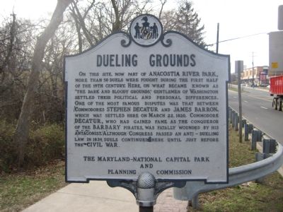
Dueling Grounds
Erected by The Maryland-National Capital Park and Planning Commission.
Topics. This historical marker is listed in these topic lists: Parks & Recreational Areas • Waterways & Vessels. A significant historical month for this entry is March 1892.
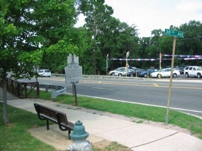
Location. 38° 56.043′ N, 76° 57.144′ W. Marker is in Colmar Manor, Maryland, in Prince George's County. Marker is at the intersection of Bladensburg Road (Maryland Route 450) and 38th Avenue, on the left when traveling south on Bladensburg Road. Touch for map. Marker is in this post office area: Brentwood MD 20722, United States of America. Touch for directions.
Other nearby markers. At least 8 other markers are within walking distance of this marker. The Road to the Capital (here, next to this marker); Bladensburg Dueling Grounds (here, next to this marker); a different marker also named Dueling Grounds (about 300 feet away, measured in a direct line); Marines & Flotillamen (about 400 feet away); A Valiant Stand (about 400 feet away); The Road to the Capitol (about 400 feet away); Second Line Falls (approx. 0.2 miles away); a different marker also named The Road to the Capital (approx. 0.2 miles away). Touch for a list and map of all markers in Colmar Manor.
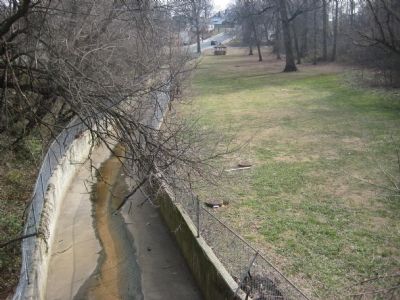
Regarding Dueling Grounds. The marker sits within the Historic Fort Lincoln Cemetery. Among others to lose their lives at the Dueling Grounds, General Armistead Mason and Daniel Key, the son of Francis Scott Key. The site of the marker sits very close to the border with the District of Columbia, where dueling was already illegal. DC residents challenging one another to a duel would cross over the border here to face each other.
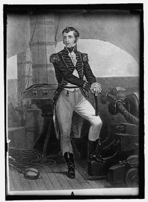
4. Commodore Stephen Decatur
Commodore Stephen Decatur rose to fame as a hero of the Barbary Wars. Decatur's naval campaigns in the Mediterranean both before and after the War of 1812 led to the end of a long-standing international practice of paying tribute to the pirate states of Barbary. Library of Congress photo, LC-DIG-npcc-19686.
Credits. This page was last revised on November 22, 2019. It was originally submitted on November 17, 2007, by F. Robby of Baltimore, Maryland. This page has been viewed 3,864 times since then and 30 times this year. Photos: 1. submitted on November 17, 2007, by F. Robby of Baltimore, Maryland. 2. submitted on July 18, 2010, by Craig Swain of Leesburg, Virginia. 3, 4, 5. submitted on January 29, 2008, by F. Robby of Baltimore, Maryland.
Editor’s want-list for this marker. Period newspaper woodcuts of duels fought here • Replacement photo • Photos of the park • Can you help?
