Texas City in Galveston County, Texas — The American South (West South Central)
Texas City Dike
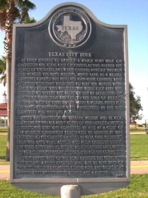
In early efforts to develop a major port here on Galveston Bay, Texas City capitalists, acting against the advice of engineers, dug a ship channel directly through and across the Bay's natural water line. As a result, currents carried silt into the man-made channel that required constant dredging to keep the waters navigable. To solve this problem, the Texas City dike was designed to divert the flow of silt by deflecting the waters of Galveston Bay out to the Gulf of Mexico. With the help of civic leader Hugh B. Moore, funds for the dike's construction were authorized in the 1913 U. S. Rivers and Harbors Act.
Under the direction of William Moore and Lt. Col. C. S. Riche of the U. S. Army Corps of Engineers' Galveston District, the dike was completed in 1915 at a cost of $1.4 million. Originally 28,200 feet in length, it was extended to its current 5.4 miles in 1934. Thus protected from the bay's tidal action and from excessive silting, the Texas City channel became a busy shipping lane, which led to significant economic growth for the community.
In the latter part of the 20th century, the Texas City dike became a prime recreational site in this part of Galveston County, boasting fishing piers, bait shops, boat launch sites, refreshment stands, and a marina.
Erected 1994 by Texas Historical Commission. (Marker Number 11575.)
Topics. This historical marker is listed in these topic lists: Man-Made Features • Waterways & Vessels. A significant historical year for this entry is 1913.
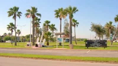
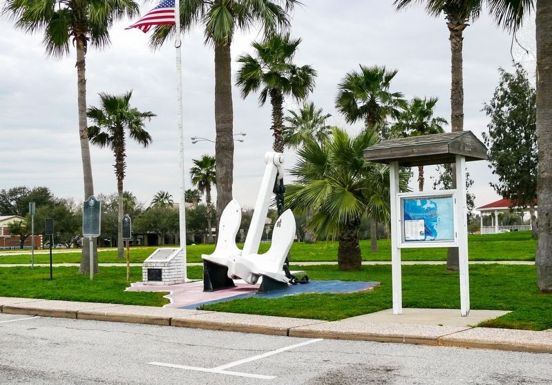
Location. 29° 23.561′ N, 94° 53.567′ W. Marker is in Texas City, Texas, in Galveston County. Marker is at the intersection of Bay Street and Dike Road, on the right when traveling north on Bay Street. The marker is located in Anchor Park. Touch for map. Marker is at or near this postal address: 900 Bay Street, Texas City TX 77590, United States of America. Touch for directions.
Other nearby markers. At least 8 other markers are within walking distance of this marker. Anchor from Freighter Grand Camp (here, next to this marker); First Aero Squadron (here, next to this marker); Anchor Park (here, next to this marker); The Texas City Disaster (approx. ¼ mile away); Propeller of the SS Highflyer (approx. ¼ mile away); William Jefferson Jones (approx. 0.4 miles away); Site of Austinia (approx. 0.4 miles away); Old Bay Lake Ranch (approx. 0.4 miles away). Touch for a list and map of all markers in Texas City.
Credits. This page was last revised on May 26, 2020. It was originally submitted on September 26, 2010, by Gregory Walker of La Grange, Texas. This page has been viewed 1,919 times since then and 35 times this year. Last updated on May 25, 2020, by Jim Evans of Houston, Texas. Photos: 1, 2. submitted on September 26, 2010, by Gregory Walker of La Grange, Texas. 3. submitted on May 25, 2020, by Jim Evans of Houston, Texas. • J. Makali Bruton was the editor who published this page.


